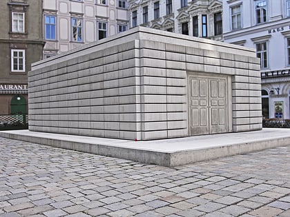
Roman Ruins Am Hof, Vienna

Facts and practical information
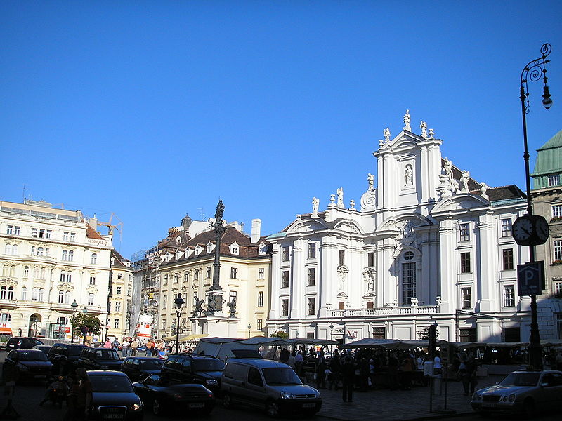
Roman Ruins Am Hof (address: Am Hof) is a place located in Vienna (Vienna state) and belongs to the category of square.
It is situated at an altitude of 614 feet, and its geographical coordinates are 48°12'40"N latitude and 16°22'4"E longitude.
Planning a visit to this place, one can easily and conveniently get there by public transportation. Roman Ruins Am Hof is a short distance from the following public transport stations: Herrengasse (bus, 3 min walk), Herrengasse (metro, 5 min walk), Schottentor (tram, 9 min walk), Nationalparkboot Lobau (ferry, 11 min walk), Oper, Karlsplatz (light rail, 17 min walk), Wien Mitte (train, 22 min walk).
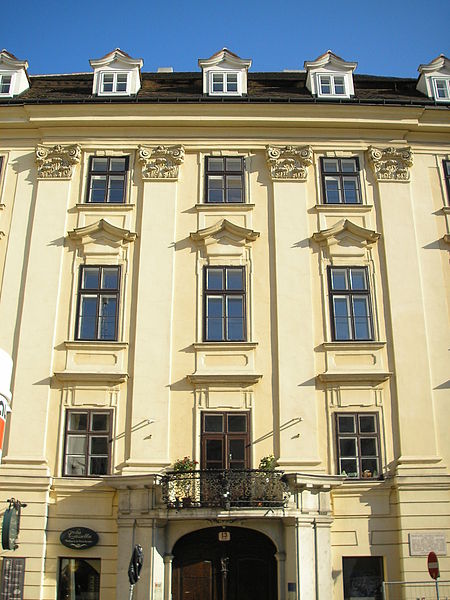
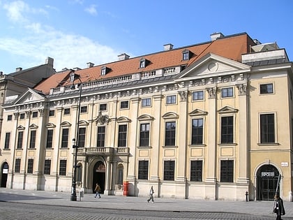
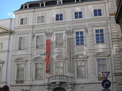
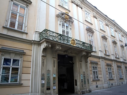
Among other places and attractions worth visiting in the area are: Uhrenmuseum (museum, 2 min walk), Palais Obizzi (baroque architecture, 2 min walk), Palais Schönborn-Batthyány (baroque architecture, 2 min walk).
Roman Ruins Am Hof – popular in the area (distance from the attraction)
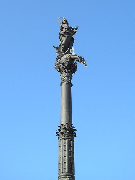
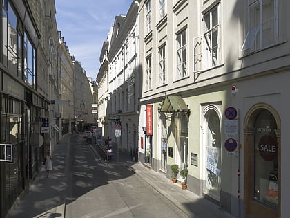
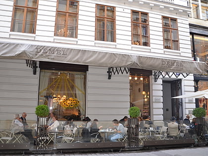
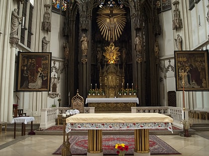
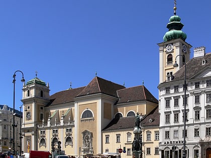
Nearby attractions include: Pestsäule, Dorotheergasse, Palais Kinsky, Peterskirche.
Frequently Asked Questions (FAQ)
Which popular attractions are close to Roman Ruins Am Hof?
How to get to Roman Ruins Am Hof by public transport?
Bus
- Herrengasse • Lines: 1A, 2A (3 min walk)
- Schwertgasse • Lines: 1A, 3A (4 min walk)
Metro
- Herrengasse • Lines: U3 (5 min walk)
- Stephansplatz • Lines: U1, U3 (7 min walk)
Tram
- Schottentor • Lines: 1, 37, 38, 40, 41, 42, 43, 44, 71, D, U2Z (9 min walk)
- Rathausplatz/Burgtheater • Lines: 1, 71, D, U2Z (9 min walk)
Ferry
- Nationalparkboot Lobau (11 min walk)
Light rail
- Oper, Karlsplatz • Lines: 62, Wlb (17 min walk)
- Karlsplatz • Lines: 1, 62, Wlb (19 min walk)
Train
- Wien Mitte (22 min walk)
- Wien Franz-Josefs-Bahnhof (29 min walk)


