Wienzeile, Vienna
Map

Map

Facts and practical information
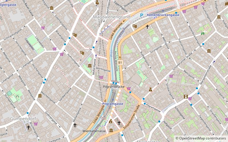
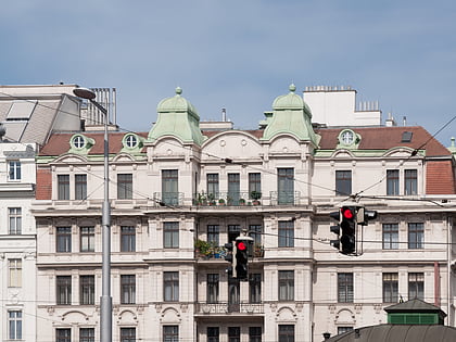
The Wienzeile is a street in Vienna, which originated in the course of the regulation of the Vienna River between 1899 and 1905 along the river's banks. ()
Address
Mariahilf (Gumpendorf)Vienna
ContactAdd
Social media
Add
Day trips
Wienzeile – popular in the area (distance from the attraction)
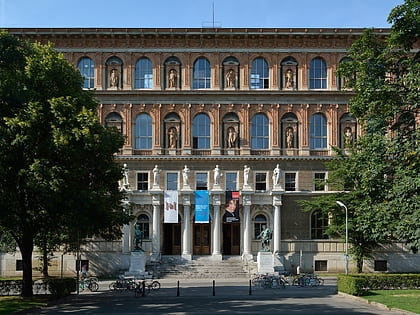
Nearby attractions include: Vienna Secession, Haus des Meeres, Leopold Museum, Naschmarkt.
Frequently Asked Questions (FAQ)
Which popular attractions are close to Wienzeile?
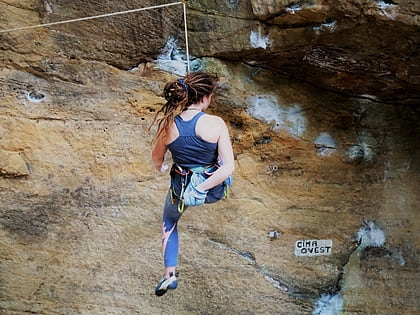
Nearby attractions include Mariahilf, Vienna (7 min walk), Österreichische Mediathek, Vienna (7 min walk), Kletterzentrum Flakturm, Vienna (8 min walk), Mariahilfer Kirche, Vienna (8 min walk).
How to get to Wienzeile by public transport?
The nearest stations to Wienzeile:
Bus
Metro
Light rail
Tram
Train
Bus
- Pilgramgasse • Lines: 12A, 13A, 14A, N60, N71 (2 min walk)
- Margaretenplatz/Schönbrunner Straße • Lines: 12A, 13A, 59A, N71 (4 min walk)
Metro
- Pilgramgasse • Lines: U4 (3 min walk)
- Kettenbrückengasse • Lines: U4 (7 min walk)
Light rail
- Mayerhofgasse • Lines: 1, 62, Wlb (15 min walk)
- Johann-Strauß-Gasse • Lines: 1, 62, Wlb (16 min walk)
Tram
- Mayerhofgasse • Lines: 1, 62 (15 min walk)
- Johann-Strauß-Gasse • Lines: 1, 62 (16 min walk)
Train
- Wien Westbahnhof (22 min walk)
- Wien Matzleinsdorfer Platz (25 min walk)


