Brixental

Gallery (3)
Map
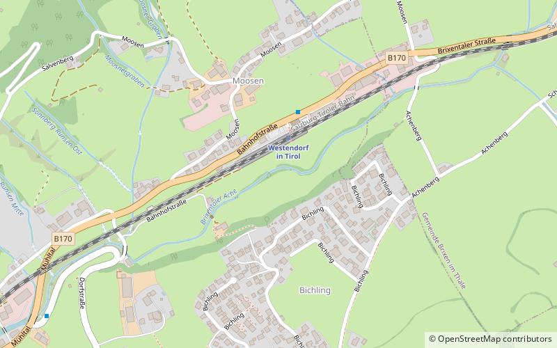
Map
Gallery
Facts and practical information
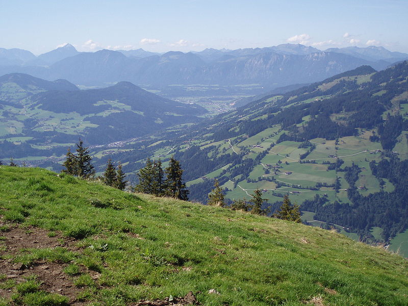
The Brixental is a southeastern side valley of the Tyrolean Lower Inn Valley in Austria with a length of about 30 km. Near Wörgl the Brixental and Inn valleys meet. The Brixental had belonged to Salzburg since 1312 and first joined Tyrol in 1816 when the new European order came into being. ()
Location
Tyrol
ContactAdd
Social media
Add
Day trips


