Mariahilf, Vienna
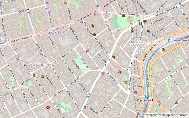
Map
Gallery
Facts and practical information
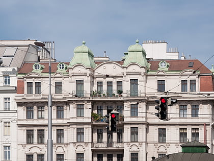
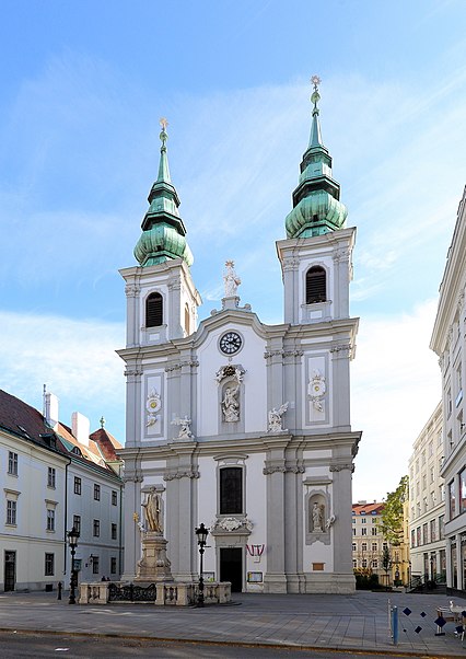
Mariahilf is the 6th municipal district of Vienna, Austria. It is near the center of Vienna and was established as a district in 1850. Mariahilf is a heavily populated urban area with many residential buildings. It has a population of 31,621 within an area of 1.48 square kilometres. ()
Day trips
Mariahilf – popular in the area (distance from the attraction)
Nearby attractions include: Haus des Meeres, Leopold Museum, Naschmarkt, Mumok.
Frequently Asked Questions (FAQ)
Which popular attractions are close to Mariahilf?
Nearby attractions include Österreichische Mediathek, Vienna (6 min walk), Kletterzentrum Flakturm, Vienna (6 min walk), Haus des Meeres, Vienna (6 min walk), Haydnhaus, Vienna (6 min walk).
How to get to Mariahilf by public transport?
The nearest stations to Mariahilf:
Bus
Metro
Tram
Train
Light rail
Bus
- Esterházygasse • Lines: 13A, 14A, 57A, N71 (3 min walk)
- Hirschengasse • Lines: 57A (4 min walk)
Metro
- Zieglergasse • Lines: U3 (6 min walk)
- Pilgramgasse • Lines: U4 (8 min walk)
Tram
- Kaiserstraße • Lines: 5 (10 min walk)
- Neubaugasse/Westbahnstraße • Lines: 49 (12 min walk)
Train
- Wien Westbahnhof (16 min walk)
- Wien Matzleinsdorfer Platz (29 min walk)
Light rail
- Paulanergasse • Lines: 1, 62, Wlb (21 min walk)
- Mayerhofgasse • Lines: 1, 62, Wlb (21 min walk)


