Ruine Lichtenfels
Map

Map

Facts and practical information
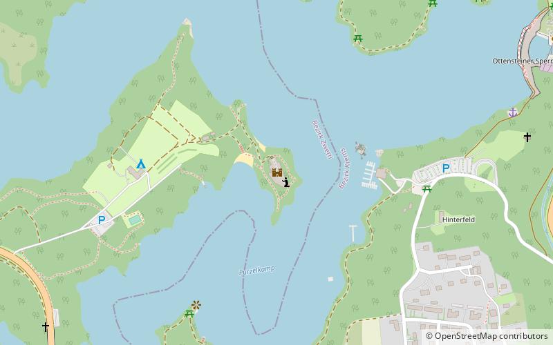
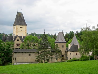
Lichtenfels Castle is a ruin of a hilltop castle near Peygarten-Ottenstein in the Waldviertel, Lower Austria, belonging to the town of Zwettl-Lower Austria.
Coordinates: 48°35'25"N, 15°19'24"E
Location
Lower Austria
ContactAdd
Social media
Add
Day trips
Ruine Lichtenfels – popular in the area (distance from the attraction)
Nearby attractions include: Burg Ottenstein, Burgruine Dobra.


