Schiederweiher, Hinterstoder

Gallery (1)
Map
Map
Facts and practical information
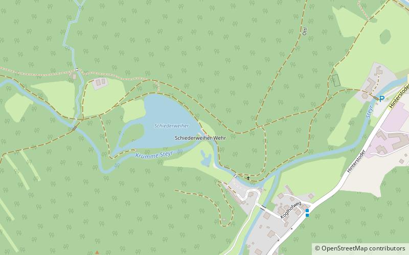
The Schiederweiher is an artificial lake in Hinterstoder, Upper Austria, created by impounding the river Krumme Steyr. The pond resides at the altitude of 612 m above sea level at the foot of the Großer Priel in the Totes Gebirge mountain range. ()
Alternative names: Area: 5.19 acres (0.0081 mi²)Length: 656 ftWidth: 558 ftMaximum depth: 5 ftElevation: 2011 ft a.s.l.Coordinates: 47°41'28"N, 14°7'52"E
Address
Hinterstoder
ContactAdd
Social media
Add
Day trips


