Rinsennock

Gallery (1)
Map
Map
Facts and practical information
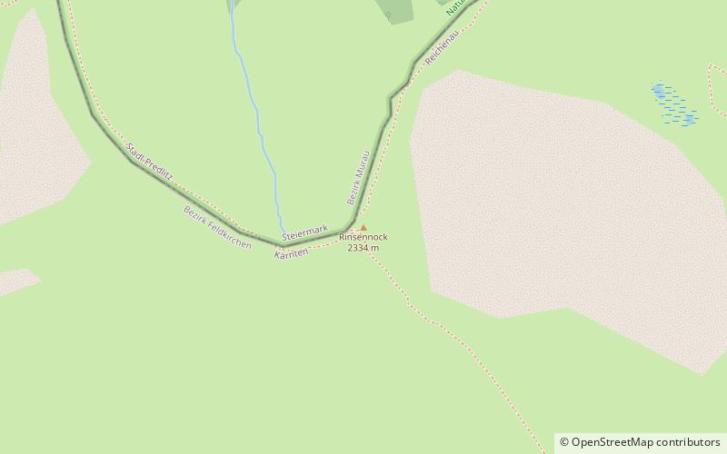
The Rinsennock is a mountain in the Gurktal Alps in Austria. It is part of the Nock Mountains sub-range and located at the border of the state of Carinthia with Upper Styria, immediately west of Turracher Höhe Pass. The summit, at 2,334 metres above the Adriatic, is a popular destination for hikers. ()
Location
Carinthia
ContactAdd
Social media
Add
Day trips


