Birnhorn
#278 among destinations in Austria


Facts and practical information
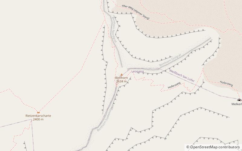
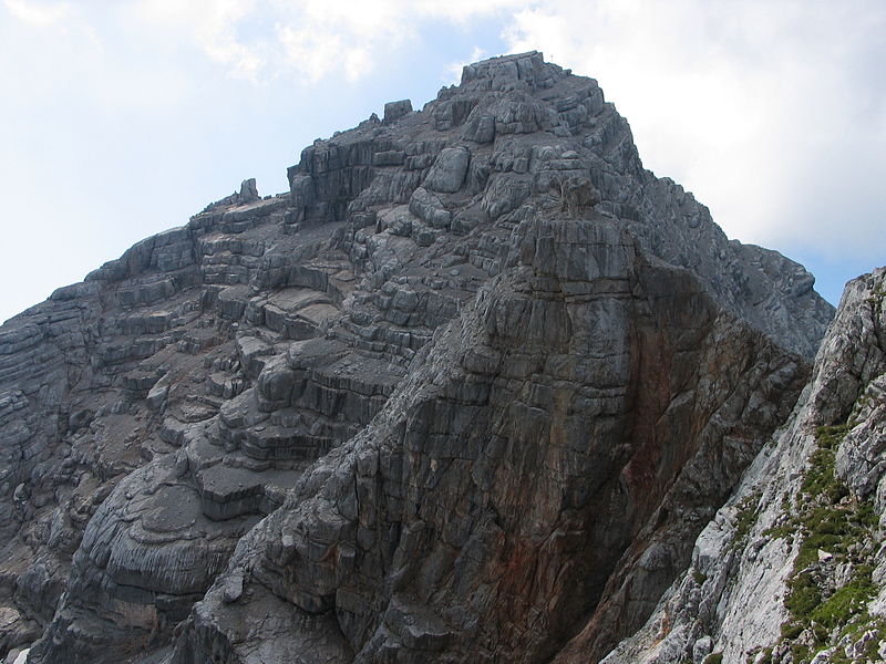
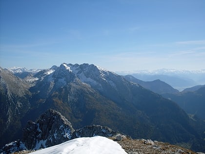
The Birnhorn is an isolated mountain in the Leoganger Steinberge, Northern Limestone Alps, Austria. ()
SalzburgAustria
Birnhorn – popular in the area (distance from the attraction)
Nearby attractions include: Lamprechtsofen, Mining and Gothic Museum, Lofer Mountains, Großes Ochsenhorn.
 Nature, Natural attraction, Trail
Lamprechtsofen
90 min walk • Lamprechtsofen, located in the heart of Austria's Alpine landscape, is one of the most remarkable and extensive cave systems in the world. With its passageways stretching over 51 kilometers in length, it offers a unique subterranean experience for both seasoned...
 Specialty museum, Museum
Mining and Gothic Museum, Leogang
65 min walk • The Mining and Gothic Museum in Leogang, Austria is dedicated to the documentation of late medieval sacral art in relation to the culture of mining. It possesses a collection of Gothic sculptures of the miners’ patron saints from the Alps region. This collection is unique throughout Europe.
 Nature, Natural attraction, Natural feature
Lofer Mountains
167 min walk • The Lofer Mountains or Loferer Mountains are a mountain range in the Northern Limestone Alps in the Eastern Alps of central Europe. They are located in Austria in the federal states of Tyrol and Salzburg. The Lofers are separated from the Leogang Mountains to the southeast by a 1,202 m-high saddle known as the lang|de|Römersattel}}.
 Nature, Natural attraction, Mountain
Großes Ochsenhorn
142 min walk • Großes Ochsenhorn is a mountain in Salzburg, Austria. It is the highest mountain in the Loferer Steinberge range. It is surrounded by a karst plateau. The mountain's name in German is translated as "Great Oxen Horn". The nearest town is Lofer in the Saalachtal valley, and the mountain takes about six hours to climb from here.
 Nature, Natural attraction, Mountain
Seehorn
160 min walk • The Seehorn is a mountain, 2,321 m, in the Berchtesgaden Alps, in the Pinzgau region of Austria, not far from the border between the Austrian state of Salzburg and Bavaria in Germany.
 Nature, Natural attraction, Mountain
Hocheisspitze, Berchtesgaden National Park
181 min walk • The Hocheisspitze is a 2,523 m high mountain in the Berchtesgaden Alps, over which the border between Germany and Austria runs. It is also the highest mountain in the eponymous Hocheis Group that belongs to the Hochkalter Massif.
 Multi-peak range with caves and trails
Leogang Mountains
13 min walk • The Leogang Mountains are a mountain range in Austria in the state of Salzburg and form part of the Northern Limestone Alps within the Eastern Alps.
 Forts and castles
Burgruine Saalegg
90 min walk • Saalegg Castle is a ruined castle in the state of Salzburg, Austria.
 Forts and castles
Schloss Dorfheim, Saalfelden
144 min walk • Schloss Dorfheim is located on the western edge of Saalfelden on the road to Leogang. The building only still has the character of a castle on the outside with a high hipped roof and the two remaining corner towers facing south.
 Alpine hut, Hiking
Passauer Hütte
20 min walk • The Passauer Hütte is an alpine club hut of the Passau Section of the German Alpine Club and is located west above the Mittagsscharte in the Leoganger Steinberge in the west of the Austrian province of Salzburg in the municipality of Weißbach bei...
 Town
TownHochfilzen
138 min walk • Hochfilzen is a town in the Austrian state of Tyrol in the Kitzbühel district. It is located at 47°28′N 12°38′E, in the Pillersee valley 5 km east of Fieberbrunn. Population was 1,147 in 2016. It is a popular winter sports resort, especially for cross-country skiing.
