Petersköpfl
Map

Map

Facts and practical information
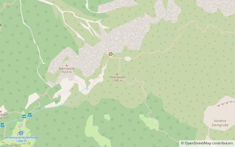
The Petersköpfl is a 1,745m high summit in the Zahmer Kaiser, the northern ridge of the Kaisergebirge mountain range in the Austrian state of Tyrol. To the east the Petersköpfl is linked by a ridge to the Einserkogel, to the west it is separated from the Naunspitze by a wind gap. To the south it falls steeply into the Kaisertal valley and to the north its steep rock faces tower above Ebbs. To the east there is a gently sloping plateau covered with mountain pine that forms the main ridge of the Zahmer Kaiser and runs up to the Pyramidenspitze. ()
Location
Tyrol
ContactAdd
Social media
Add
Day trips
Petersköpfl – popular in the area (distance from the attraction)
Nearby attractions include: Anton Karg Haus, Tischofer Cave, Kaiser Mountains, Stripsenjochhaus.


