Burg Wartenstein
Map

Map

Facts and practical information
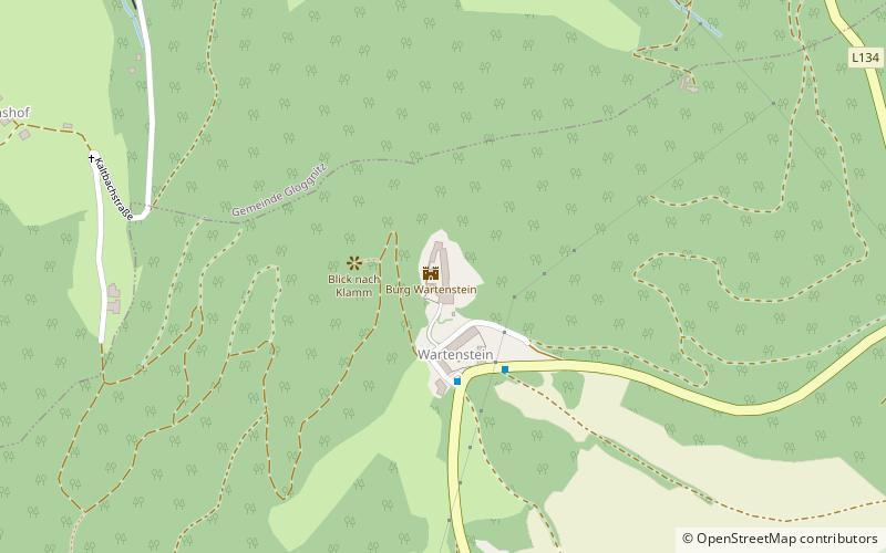
Wartenstein Castle is a well-preserved castle complex in the cadastral municipality of the same name Wartenstein in the municipality of Raach am Hochgebirge near Gloggnitz in the district of Neunkirchen in southern Lower Austria. The high-altitude castle towers visibly above the Schwarza valley on a hill in front of the Großer Otter between Grasberg and Raachberg, directly on state road 134. The castle is a listed building.
Coordinates: 47°39'2"N, 15°55'9"E
Location
Lower Austria
ContactAdd
Social media
Add
Day trips
Burg Wartenstein – popular in the area (distance from the attraction)
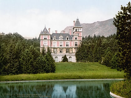
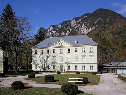
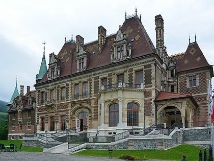
Nearby attractions include: Zauberberg, Hermannshöhle, Villa Wartholz, Semmering railway.


