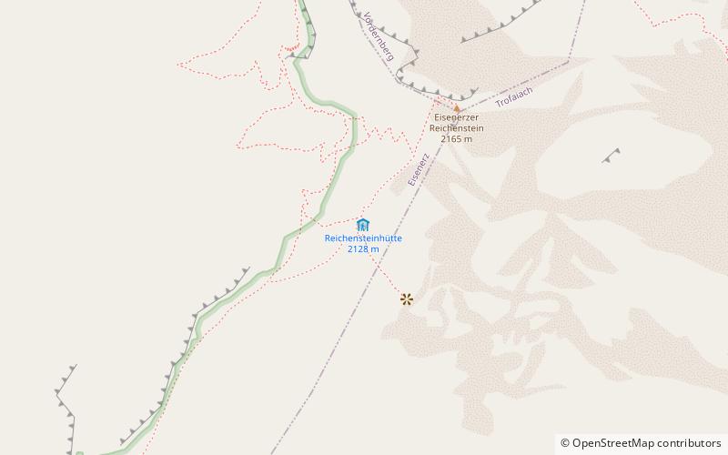
Reichensteinhütte
Map

Map

Facts and practical information
The Reichensteinhütte is an alpine club hut of the Leoben Section of the Austrian Alpine Club in the southern part of the Ennstal Alps known as the Eisenerzer Alpen.
Coordinates: 47°30'3"N, 14°55'56"E
Location
Styria
ContactAdd
Social media
Add
Day trips
Reichensteinhütte – popular in the area (distance from the attraction)
Nearby attractions include: Leopoldsteinersee, Eisenerzer Reichenstein, Erzberg Rodeo, Radwerk IV.


