Floridsdorf, Vienna
Map
Gallery
Facts and practical information
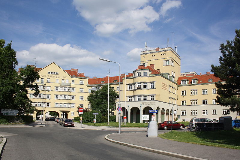
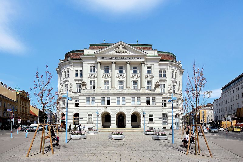
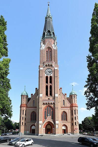
Floridsdorf is the 21st district of Vienna, located in the northern part of the city and comprising seven formerly independent communities: Floridsdorf, Donaufeld, Greater Jedlersdorf, Jedlesee, Leopoldau, Stammersdorf, and Strebersdorf. ()
Day trips
Floridsdorf – popular in the area (distance from the attraction)
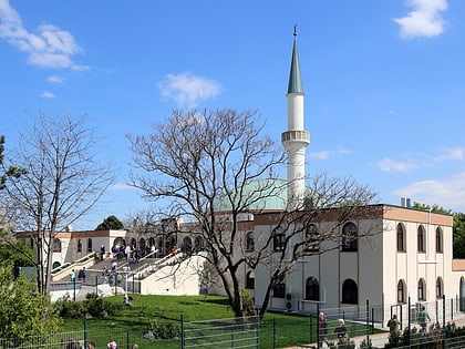
Nearby attractions include: Donauturm, Leopoldsberg, Islamisches Zentrum Wien, St. Michael.
Frequently Asked Questions (FAQ)
How to get to Floridsdorf by public transport?
The nearest stations to Floridsdorf:
Tram
Bus
Train
Tram
- Brünner Straße/Hanreitergasse • Lines: 30, 31 (1 min walk)
- Carabelligasse • Lines: 30, 31 (6 min walk)
Bus
- Brünner Straße/Hanreitergasse • Lines: 32A, N31 (2 min walk)
- Toni-Fritsch-Weg • Lines: 30A, 32A, 501 (5 min walk)
Train
- Wien Siemensstraße (25 min walk)
- Wien Jedlersdorf (26 min walk)


