Donauinsel, Vienna
Map
Gallery
Facts and practical information
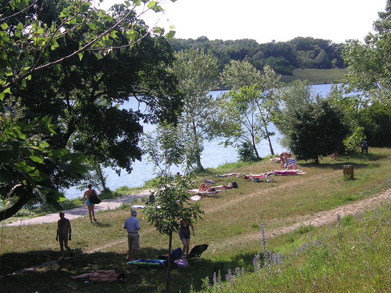
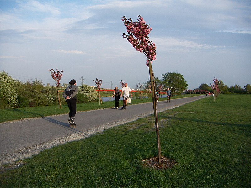
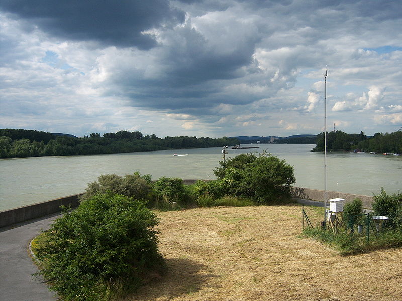
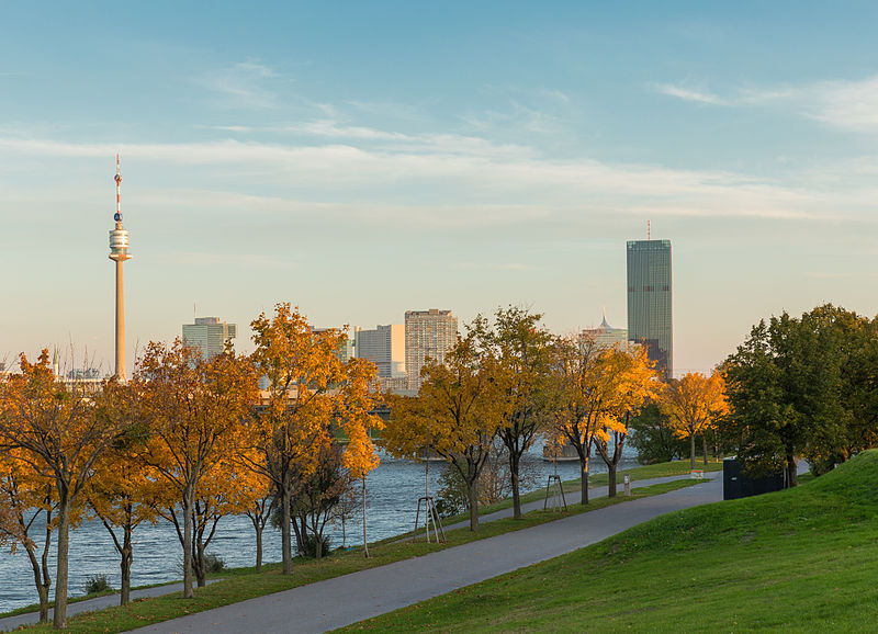
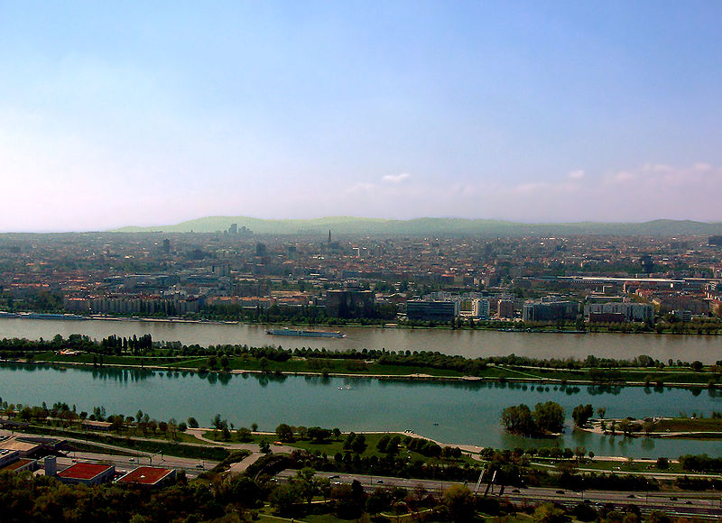
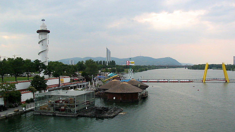
The Donauinsel is a long, narrow artificial island in central Vienna, Austria, lying between the Danube river and the parallel excavated channel Neue Donau. The island is 21.1 km in length, but is only 70–210 m wide. The New Danube waterway is practically an elongated lake, technically a diluvian bed. It has been described as an "autobahn for swimmers", due to its use by people commuting to work. ()
Day trips
Donauinsel – popular in the area (distance from the attraction)
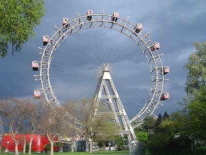
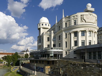
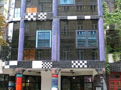
Nearby attractions include: Wurstelprater, Hundertwasserhaus, Urania, Augarten.
Frequently Asked Questions (FAQ)
Which popular attractions are close to Donauinsel?
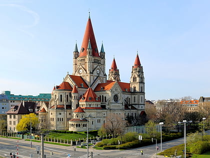
Nearby attractions include Mexikoplatz, Vienna (6 min walk), St. Francis of Assisi Church, Vienna (8 min walk), Madame Tussauds Wien, Vienna (11 min walk), Riesenrad, Vienna (12 min walk).
How to get to Donauinsel by public transport?
The nearest stations to Donauinsel:
Bus
Metro
Tram
Train
Bus
- Harkortstraße • Lines: 82A (2 min walk)
- Max-Winter-Platz • Lines: 82A (4 min walk)
Metro
- Vorgartenstraße • Lines: U1 (2 min walk)
- Praterstern • Lines: U1, U2 (10 min walk)
Tram
- Krakauer Straße • Lines: O (9 min walk)
- Mühlfeldgasse • Lines: 5, O (13 min walk)
Train
- Wien Praterstern (12 min walk)
- Prater Hauptbahnhof (14 min walk)


