Hinterau valley
#581 among destinations in Austria
Facts and practical information
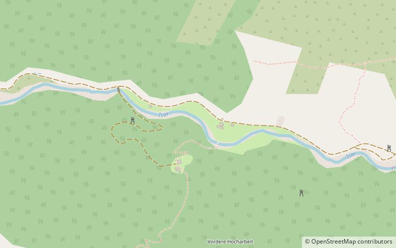
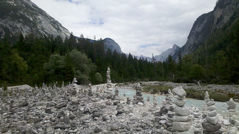
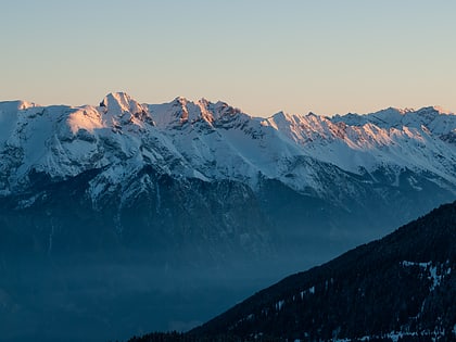
The Hinterau valley is a valley crossing the Karwendel range from east to west. The Isar has its official source in the Hinterau valley. ()
TyrolAustria
Hinterau valley – popular in the area (distance from the attraction)
Nearby attractions include: Solsteinhaus, Westliche Karwendelspitze, Frau Hitt, Porta Claudia.
 Alpine hut, Hiking
Solsteinhaus
155 min walk • Nestled in the heart of the Austrian Alps, the Solsteinhaus serves as a beacon of refuge and hospitality for mountaineers and nature enthusiasts alike. This alpine hut, perched at an elevation of 1,805 meters, provides a scenic backdrop for visitors seeking to explore...
 Natural attraction, Nature, Mountain
Westliche Karwendelspitze
129 min walk • The Westliche Karwendelspitze stands as a majestic peak in the Karwendel range of the Northern Limestone Alps, located in Austria. This towering mountain reaches an elevation of 2,385 meters, offering climbers and hikers stunning panoramic views of the surrounding...
 Nature, Natural attraction, Mountain
Frau Hitt, Innsbruck
127 min walk • Frau Hitt is an impressive mountain rock that towers over the city of Innsbruck in Austria, constituting one of the most characteristic rock formations in the region. According to local legend, this rock resembles the silhouette of a woman on horseback, making it the...
 Forts and castles
Porta Claudia, Scharnitz
132 min walk • The Porta Claudia is a former fortification at the Scharnitz Pass, where the valley of the River Isar narrows near the village of Scharnitz, on the Bavarian border near Mittenwald. The Porta Claudia – or more precisely the Scharnitz Pass – is the start of the present federal highways, the B 2 and the B 177.
 Nature, Natural attraction, Mountain
Erlspitze
142 min walk • The Erlspitze, at 2,405 m, is the highest mountain of the range to which it gives its name in the southeastern corner of the Karwendel Alps.
 Natural attraction, Nature, Mountain
Wörner
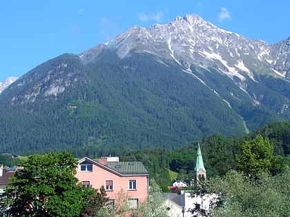
136 min walk • The Wörner is a 2,476 m high mountain in the Karwendel on the border between Bavaria and Tyrol. It is part of the Northern Karwendel Chain that initially runs northwards to the Wörner and then swings east. The northwest ridge of the Wörner is very striking and easy to make out from many other peaks in the region.
 Nature, Natural attraction, Mountain
Vordere Brandjochspitze, Innsbruck
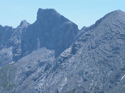
135 min walk • The Vordere Brandjochspitze is a peak, 2,559 m high, in the Nordkette in the Karwendel range and is one of its highest and most striking peaks.
 Nature, Natural attraction, Mountain
Kleiner Solstein, Innsbruck
141 min walk • The Kleiner Solstein is a mountain, 2,637 m high, in the Nordkette in the Karwendel Alps in the Austrian state of Tyrol. Despite its name it towers above its western neighbour, the Großer Solstein by almost 100 m and is thus the highest summit in the Nordkette.
 Nature, Natural attraction, Mountain
Birkkarspitze
101 min walk • The Birkkarspitze is the highest mountain in the Karwendel range, Austria as well as an ultra prominent peak. It is located within the Innsbruck-Land District of Tyrol, Austria.
 Nature, Natural attraction, Mountain
Kemacher, Innsbruck
112 min walk • Kemacher is a summit of the Nordkette range in the Austrian state of Tyrol.
 Nature, Natural attraction, Mountain
Hintere Bachofenspitze
97 min walk • The Hintere Bachofenspitze in the Karwendel mountains of Tyrol is 2,668 metres high and forms the northernmost point of the parish of Thaur in the Inn Valley.
