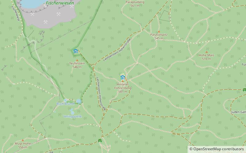
Kammersteinerhütte, Perchtoldsdorf
Map

Map

Facts and practical information
Kammersteinerhütte (address: Hinterer Föhrenberg) is a place located in Perchtoldsdorf (Lower Austria state) and belongs to the category of hiking, alpine hut.
It is situated at an altitude of 1867 feet, and its geographical coordinates are 48°7'0"N latitude and 16°13'41"E longitude.
Among other places and attractions worth visiting in the area are: Kalksburg, Vienna (neighbourhood, 43 min walk), Burg Perchtoldsdorf (forts and castles, 43 min walk), Pfarrkirche St. Augustin (church, 44 min walk).
Coordinates: 48°7'0"N, 16°13'41"E
Day trips
Kammersteinerhütte – popular in the area (distance from the attraction)
Nearby attractions include: Liechtenstein Castle, Seegrotte, Wotrubakirche, First Vienna Mountain Spring Pipeline.


