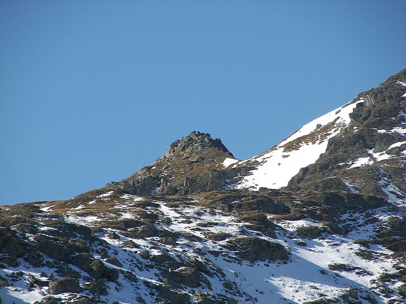
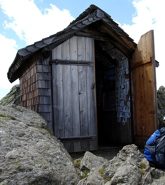
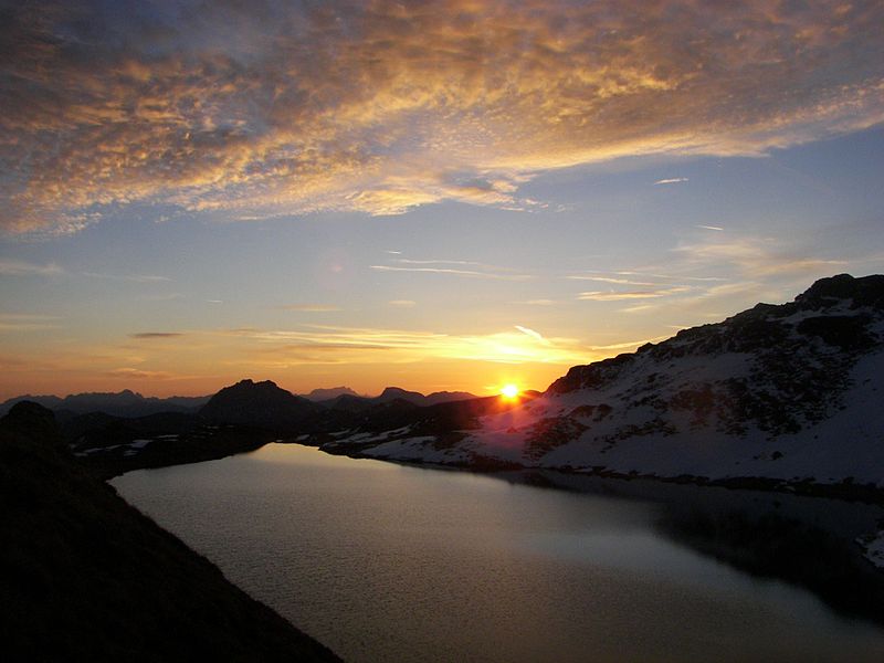
Kröndlhorn
#163 among destinations in Austria
![blank map](https://tzassets.b-cdn.net/static/img/blank-map-colors-sm.png)
![Kröndlhorn](https://tzmedia.b-cdn.net/media/images/at/place/gallery/medium/2e092207add990cb80ad73878134aece.jpg)
Facts and practical information
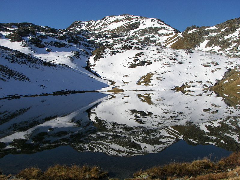
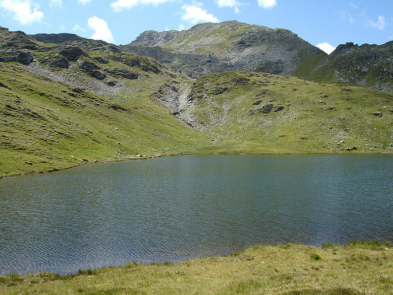
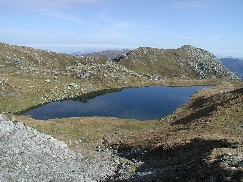
The Kröndlhorn is a 2,444 m above sea level high mountain in the Kitzbühel Alps in Austria. It is one of the highest mountains on the main crest of the Kitzbühel Alps. The state border between Tyrol and Salzburger Land runs over its summit. ()
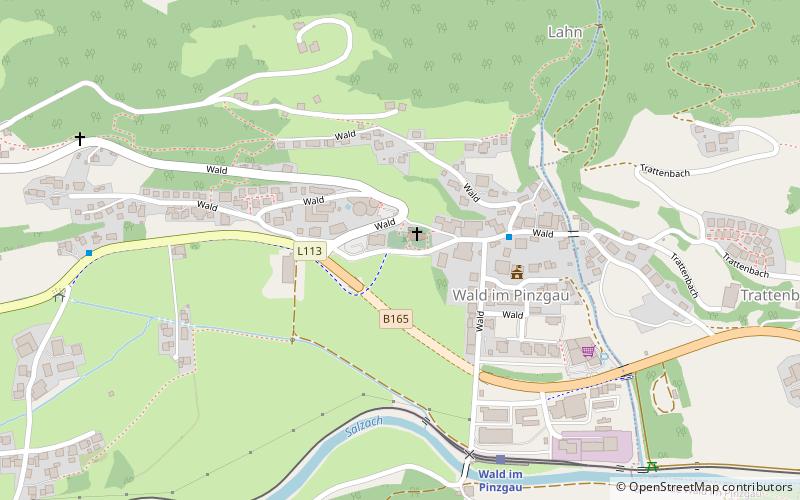
SalzburgAustria
Kröndlhorn plan & book
Unleash the traveler in you — discover the cheapest flight deals, find the perfect hotel or hostel nearby, and search for the best car rental prices. Travel at your own pace to discover new places and enjoy your journey.
Kröndlhorn – popular in the area (distance from the attraction)
Nearby attractions include: New Bamberg Hut, Brechhorn, Salzachgeier, Schafsiedel.
1 miNWAlpine hut, HikingNew Bamberg Hut
25 min walk • Tucked away in the breathtaking Alpine landscape of Austria, the New Bamberg Hut stands as a beacon for mountaineers and hikers seeking refuge and respite in the heart of nature. This alpine hut, nestled at an altitude that offers panoramic views of the surrounding...
7.2 miNENature, Natural attraction, MountainBrechhorn
185 min walk • The Brechhorn is a 2,032 m above sea level high mountain in the Kitzbühel Alps in Austria. It lies between the valleys of the Aschauer Ache and the Windau.
2.9 miWNature, Natural attraction, MountainSalzachgeier
74 min walk • The Salzachgeier is a rugged peak on the edge of the Kitzbühel Alps on the border of the Austrian states of Salzburg and Tyrol.
2.6 miNWNature, Natural attraction, MountainSchafsiedel
66 min walk • The Schafsiedel is a 2,447 m above sea level high mountain in the Kitzbühel Alps in Austria. It is one of the highest peaks on the main crest of the Kitzbühel Alps.
3.2 miNNature, Natural attraction, MountainSteinbergstein
81 min walk • The Steinbergstein is a mountain, 2,215 m high, in the Kitzbühel Alps in Austria.
2.4 miWNature, Natural attraction, MountainAleitenspitze
62 min walk • The Aleitenspitze is a mountain, 2,449 m above sea level, in the Kitzbühel Alps in Austria. It is one of the highest peaks on the main crest of the Kitzbühel Alps.
5.2 miSEForts and castlesBurgruine Hieburg
132 min walk • Burgruine Hieburg is a castle in the state of Salzburg, Austria.
5.3 miS 5.4 miSWNature, Natural attraction, Mountain passGerlos Pass
139 min walk • Gerlos Pass is a mountain pass in the Austrian Alps between the Oberpinzgau region in the state of Salzburg and the Zillertal valley in Tyrol. The old road leads from Wald im Pinzgau to Gerlos in the Zillertal valley. It is closed to trucking and not always open in winter.
6 miSETownNeukirchen am Großvenediger
155 min walk • Neukirchen am Großvenediger is a paradise for outdoor enthusiasts, with an abundance of hiking and mountain biking trails that wind their way through the pristine alpine scenery. The nearby Hohe Tauern National Park is a haven for nature lovers, boasting an array of...
4.6 miSELocalityWald im Pinzgau
117 min walk • The village of Wald im Pinzgau is an ideal base for exploring the stunning landscapes of the Salzburg region, with an abundance of hiking trails and cycling routes that wind through lush meadows, dense forests, and towering peaks.