Innsbruck Observatory, Innsbruck
Map
Facts and practical information
Address
Innsbruck
ContactAdd
Social media
Add
Getting there by public transportation
Public transportation stops near this location
- Bus
- Tram
- Train
 Bus
Bus
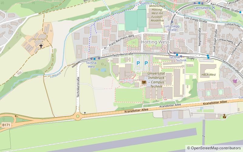
- Calculate routeTechnik West 3 min walk
- Calculate routeTechnik 6 min walk
- Calculate routeLuis-Zuegg-Straße 6 min walk
- Calculate routeLahntalweg 9 min walk
- Calculate routeTechnik West 3 min walk
- Calculate routeLuis-Zuegg-Straße 7 min walk
- Calculate routeTechnik 7 min walk
- Calculate routeLahntalweg 9 min walk
- Calculate routeInnsbruck Allerheiligenhöfe 16 min walk
- Calculate routeKranebitten 20 min walk
- Calculate routeVöls 30 min walk
Day trips


Frequently Asked Questions (FAQ)
How to get to Innsbruck Observatory by public transport?
The nearest stations to Innsbruck Observatory:
Tram
Bus
Train
Tram
- Technik West • Lines: 2, 5 (3 min walk)
- Technik • Lines: 2, 5 (6 min walk)
Bus
- Technik West • Lines: 4123, K, N8, T (3 min walk)
- Luis-Zuegg-Straße • Lines: K, N8 (7 min walk)
Train
- Innsbruck Allerheiligenhöfe (16 min walk)
- Kranebitten (20 min walk)