Kahlenbergerdorf, Vienna
Map

Map

Facts and practical information
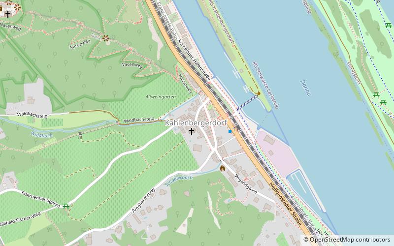
Kahlenbergerdorf was an independent municipality until 1892 and is today a part of Döbling, the 19th district of Vienna. It is also one of the 89 Katastralgemeinden. ()
Address
Döbling (Nußdorf)Vienna
ContactAdd
Social media
Add
Day trips
Kahlenbergerdorf – popular in the area (distance from the attraction)
Nearby attractions include: Leopoldsberg, Kahlenberg, Nussdorf weir and lock, Kahlenbergerdorf.
Frequently Asked Questions (FAQ)
Which popular attractions are close to Kahlenbergerdorf?
Nearby attractions include Kahlenbergerdorf, Vienna (2 min walk), Leopoldsberg, Vienna (14 min walk), Josefsdorf, Vienna (23 min walk), Modul University Vienna, Klosterneuburg (23 min walk).
How to get to Kahlenbergerdorf by public transport?
The nearest stations to Kahlenbergerdorf:
Bus
Tram
Train
Bus
- Kahlenbergerdorf • Lines: 400 (2 min walk)
- Burgstall • Lines: 400 (12 min walk)
Tram
- Nußdorf Beethovengang • Lines: D (29 min walk)
- Sickenberggasse • Lines: D (33 min walk)
Train
- Wien Nußdorf (30 min walk)


