Güntlespitze
Map

Map

Facts and practical information
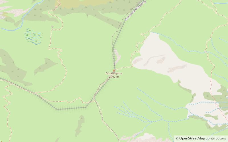
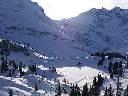
Güntlespitze is a 2,092 m high grassy mountain made of flysch in the Allgäu Alps. It is located in Kleinwalsertal in the mountain range that borders the village of Baad to the west. To the west of the Güntlispitze lies the Üntscheller and to the southeast the Hintere Üntschenspitze. In the ridge moving to the north lies the Hochstarzel.
The Güntlispitze is crossed by a marked path that reaches the summit from Derrajoch via the northeast flank and leads to Häfnerjoch in the west. In winter, the mountain is often climbed as part of a ski tour.
Location
Vorarlberg
ContactAdd
Social media
Add
Day trips
Güntlespitze – popular in the area (distance from the attraction)
Nearby attractions include: Hoher Ifen, Großer Widderstein, Körbersee, Torkopf.


