Voisthaler Hütte
Map

Map

Facts and practical information
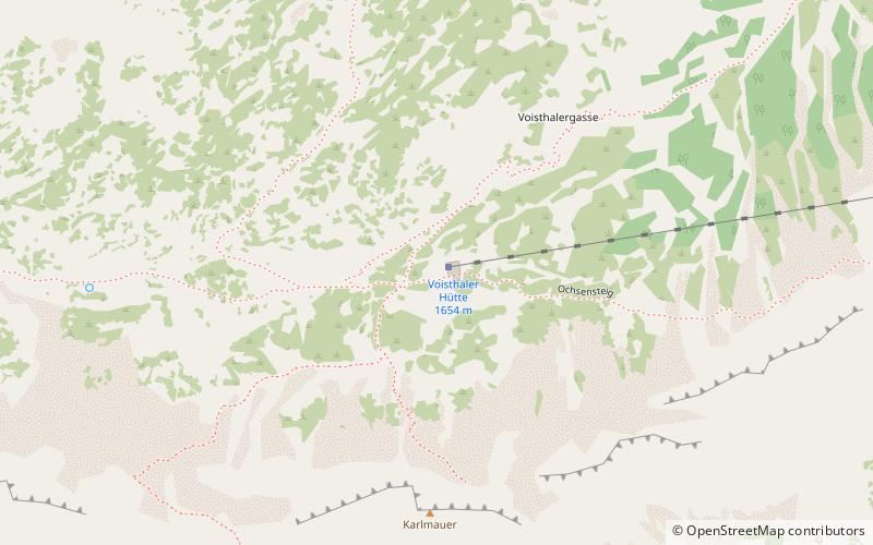
Voisthaler Hütte also Voisthalerhütte is a refuge of the Voisthaler local group of the Austria section of the ÖAV. Opened on July 10, 1898, it is located in the high valley of the Upper Dullwitz of the Hochschwab Group. It is located on the northern alpine trail and north-south long-distance hiking trail.
Coordinates: 47°36'44"N, 15°10'50"E
Location
Styria
ContactAdd
Social media
Add
Day trips
Voisthaler Hütte – popular in the area (distance from the attraction)
Nearby attractions include: Hochschwab, Hochstadl, Messnerin, Northern Lower Austria Alps.


