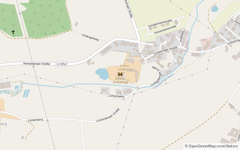
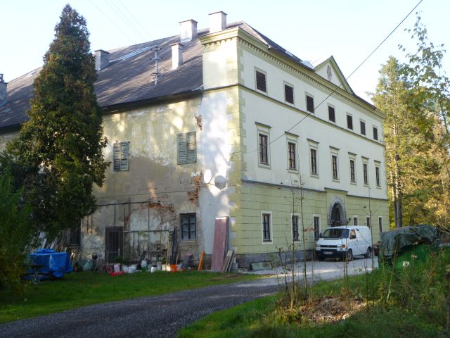
Schloss Irnharting
Map
![Schloss Irnharting location map](https://tzmedia.b-cdn.net/media/images/static-maps/at/48_1285_13_914.jpg)
Gallery
![Schloss Irnharting](https://tzmedia.b-cdn.net/media/images/at/place/gallery/medium/06b239d011a2836af9c67c1151dbdbff.jpg)
Facts and practical information
Schloss Irnharting is a former moated castle in the village of Irnharting in the Upper Austrian market town of Gunskirchen, district of Wels-Land.
Coordinates: 48°7'43"N, 13°54'50"E
Location
1 SchlosswegUpper Austria
ContactAdd
Social media
Add
Day trips
Schloss Irnharting – popular in the area (distance from the attraction)
Nearby attractions include: Schmiding Zoo, Lambach Abbey, Museum Angerlehner, lebensspuren.museum.