Zireiner See
Map

Map

Facts and practical information
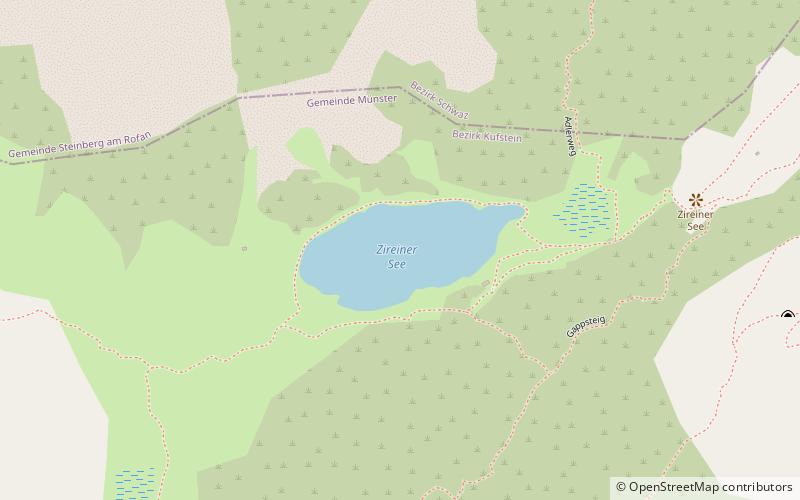
Zireiner See is a lake of Tyrol, Austria. The Zireiner lake is around 4 hectares of a mountain lake at 1,799 metres above sea level in the Brandenberger Alps. It lies between the Rosskogel in the east and the Rofanspitze in the west in the hollow, on the north side of foothills of the Marchspitze and in the south of the Latschberg A.) is formed. At the western end, a spring feeds the lake. ()
Alternative names: Area: 9.88 acres (0.0154 mi²)Elevation: 5902 ft a.s.l.Coordinates: 47°27'53"N, 11°48'45"E
Location
Tyrol
ContactAdd
Social media
Add
Day trips
Zireiner See – popular in the area (distance from the attraction)
Nearby attractions include: Museum of Tyrolean Farms, Berglsteiner See, Hochiss, Schloss Matzen.


