Schloss Lichtengraben
Map

Gallery

Facts and practical information
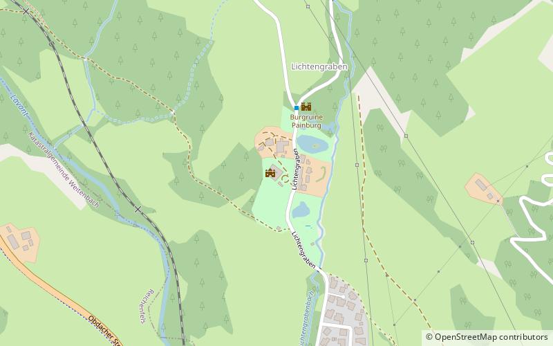
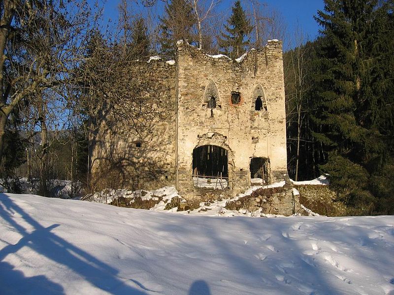
Lichtengraben Castle stands about 200 meters below Painburg Ruin in the village of the same name in the cadastral municipality of Theißing, municipality of Bad St. Leonhard im Lavanttal.
Coordinates: 46°59'5"N, 14°46'51"E
Day trips
Schloss Lichtengraben – popular in the area (distance from the attraction)
Nearby attractions include: Talübergang Lavant, Burgruine Gomarn, Schloss Ehrenfels, Schloss Waldenstein.


