Schwaben-Kapelle, Götzens

Gallery (1)
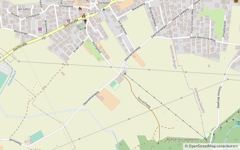
Map
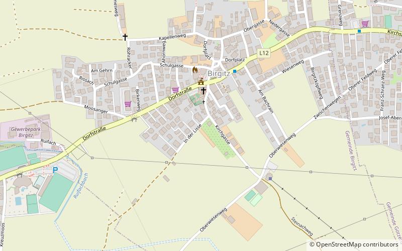
Map
Facts and practical information
Schwaben-Kapelle is a place located in Götzens (Tyrol state) and belongs to the category of wayside shrine.
It is situated at an altitude of 2861 feet, and its geographical coordinates are 47°13'57"N latitude and 11°18'6"E longitude.
Among other places and attractions worth visiting in the area are: Birgitz (village, 5 min walk), Raetermuseum Hohe Birga (museum, 7 min walk), Boulderhalle Axams (climbing, 12 min walk).
Coordinates: 47°13'57"N, 11°18'6"E
Address
Götzens
ContactAdd
Social media
Add
Day trips


Frequently Asked Questions (FAQ)
Which popular attractions are close to Schwaben-Kapelle?
Nearby attractions include Birgitz, Götzens (5 min walk), Raetermuseum Hohe Birga, Götzens (7 min walk), Vellenberg, Götzens (22 min walk), Postkutscherhof, Axams (22 min walk).