Lake Toplitz
Map

Map

Facts and practical information
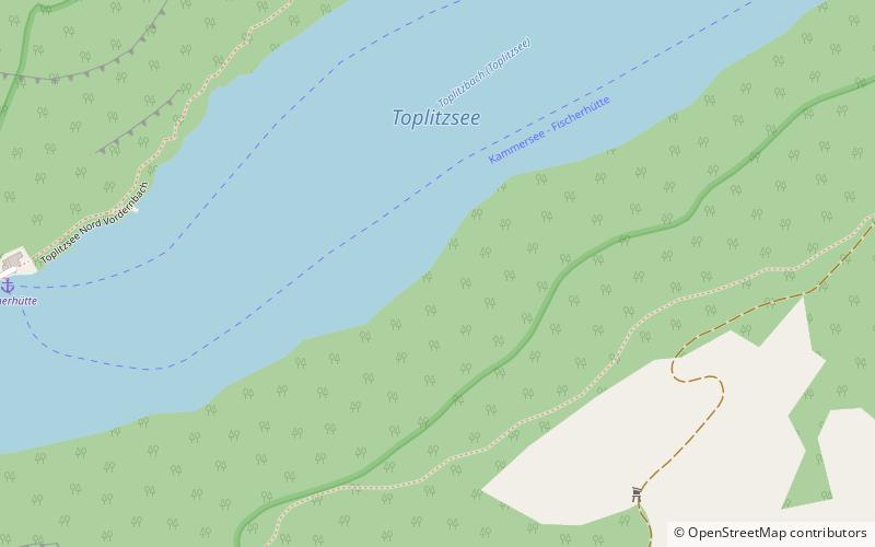
Lake Toplitz is a lake situated in a dense mountain forest high up in the Austrian Alps, 98 km from Salzburg in western Austria. It is surrounded by cliffs and forests in the Salzkammergut lake district, within the Totes Gebirge. The Toplitzsee water contains no oxygen below a depth of 20 m. Fish can survive only in the top 18 m, as the water below 20 m is salty, although bacteria and worms that can live without oxygen have been found below 20 m. ()
Local name: Toplitzsee Area: 133.44 acres (0.2085 mi²)Length: 45.36 miWidth: 3622 ftMaximum depth: 338 ftElevation: 2362 ft a.s.l.Coordinates: 47°38'30"N, 13°55'40"E
Location
Styria
ContactAdd
Social media
Add
Day trips
Lake Toplitz – popular in the area (distance from the attraction)
Nearby attractions include: Wildensee, Hollhaus, Salzofen cave, Grundlsee.


