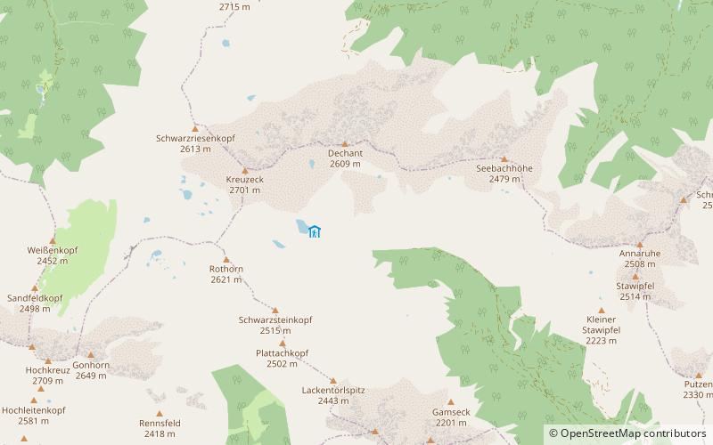
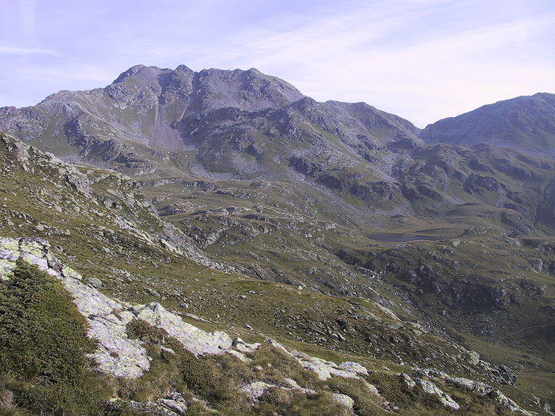
Kreuzeck group

Gallery (2)
Map
Map
Gallery
Facts and practical information
The Kreuzeck Group is a mountain range of the Central Eastern Alps. It may be considered either a separate range or part of the larger High Tauern chain. Administratively, the range belongs to the Austrian states of Carinthia and, in the westernmost part, Tyrol. ()
Local name: Kreuzeckgruppe Maximum elevation: 9134 ftElevation: 9134 ftCoordinates: 46°49'60"N, 13°7'60"E
Location
Carinthia
ContactAdd
Social media
Add
Day trips
Kreuzeck group – popular in the area (distance from the attraction)
Nearby attractions include: Mölltaler Polinik.
