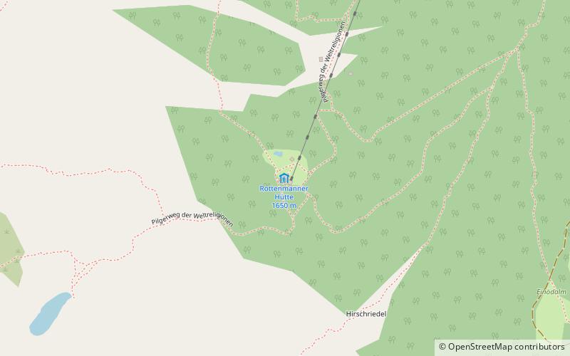
Rottenmanner Hütte
Map

Map

Facts and practical information
The Rottenmanner Hütte is a refuge of the Rottenmann Section of the Austrian Alpine Club in the municipality of Rottenmann. The hut is located between Hirschriedel and Stein am Mandl in the Rottenmanner Tauern at 1651 m above sea level. The hut is used as a starting point for many hikes in the northern Rottenmanner Tauern.
Coordinates: 47°29'24"N, 14°22'33"E
Location
Styria
ContactAdd
Social media
Add
Day trips
Rottenmanner Hütte – popular in the area (distance from the attraction)
Nearby attractions include: Großer Bösenstein, Schloss Röthelstein, Burg Strechau, Triebener Tauern Pass.


