Plabutsch, Graz
Map

Map

Facts and practical information
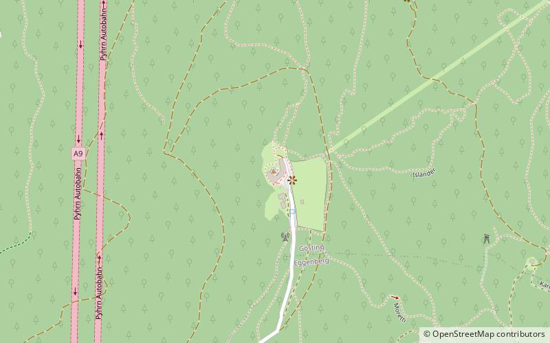
The Plabutsch, also Plabutschzug, in the broader sense Plabutsch-Buchkogel-Zug is a mountain range in Styria. Its main peak is the 754 m above sea level Fürstenstand, whose direct stock is often referred to as the actual Plabutsch.
Address
Graz
ContactAdd
Social media
Add
Day trips
Plabutsch – popular in the area (distance from the attraction)
Nearby attractions include: Eggenberg Castle, Gösting, Gösting Castle, Burgruine Gösting.
Frequently Asked Questions (FAQ)
Which popular attractions are close to Plabutsch?
Nearby attractions include St. Anna, Graz (16 min walk), Gösting, Graz (20 min walk), Ansitz Rothenburg, Graz (22 min walk), Nothelferkirche, Graz (23 min walk).
How to get to Plabutsch by public transport?
The nearest stations to Plabutsch:
Bus
Tram
Bus
- Negrelligasse • Lines: 65, 65A, N1 (15 min walk)
- Grabenbauer • Lines: 48 (16 min walk)
Tram
- Eggenberg/UKH • Lines: 1 (25 min walk)
- Alt-Eggenberg • Lines: 1 (25 min walk)


