Viktoria Adelheid Schutzhütte

Gallery (1)
Map
Map
Facts and practical information
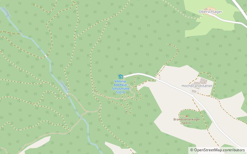
The Viktoria-Adelheid refuge, today usually called Brandstetterkogelhütte, is an alpine refuge of the Strudengau section of the ÖTK, on a hilltop of the Brandstetterkogel in the village of Schaltberg in the municipality of Neustadtl an der Donau in the Strudengau region in the district of Amstetten in Lower Austria.
Coordinates: 48°13'14"N, 14°52'27"E
Location
Schaltberg 47Neustadtl an der Donau 3323 Lower Austria
Contact
+43 7471 2265
Social media
Add
Day trips


