Rosskopf

Map
Facts and practical information
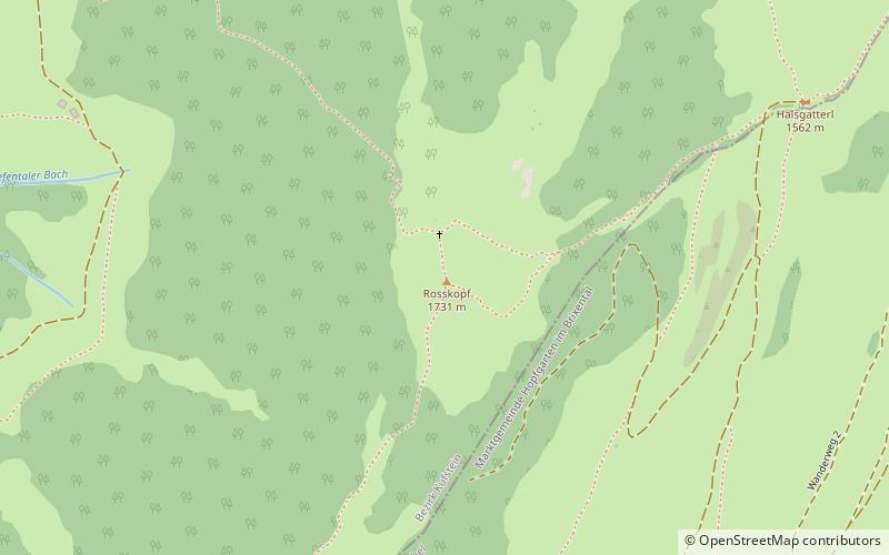
The Roßkopf is a mountain in the Austrian state of Tyrol in the Kitzbühel Alps. It is 1,731 metres high and lies about 7 kilometres due south of Wörgl. To the northeast an arête descends to the Marchbachjoch or Markbachjoch; another ridge runs northeast to the Kirchköpfl and a third to the Turmkogel to the south. The summit of the Roßkopf is the highest in the local area. It is marked by a large summit cross. ()
Location
Tyrol
ContactAdd
Social media
Add
Day trips
Rosskopf – popular in the area (distance from the attraction)
Nearby attractions include: Itter Castle, Schatzberg, Alpbachtal, Feldalphorn.


