Felbermayr, Wels

Gallery (1)
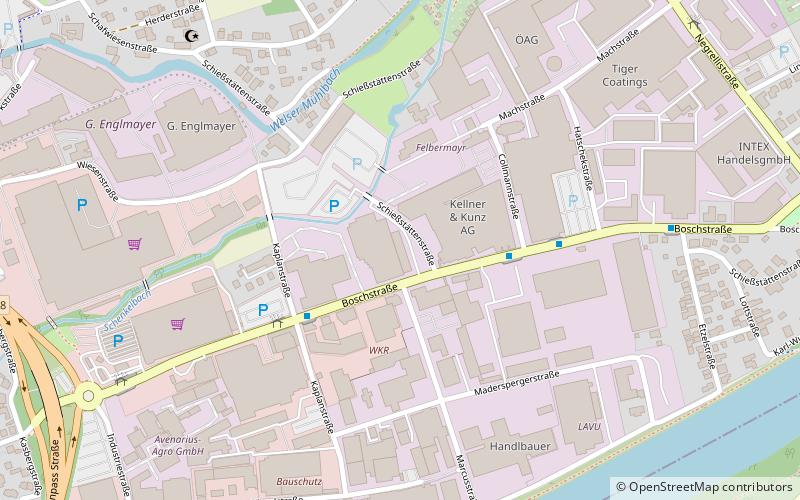
Map
Map
Facts and practical information
Felbermayr (address: Machstraße 7) is a place located in Wels (Upper Austria state) and belongs to the category of sightseeing.
It is situated at an altitude of 1010 feet, and its geographical coordinates are 48°9'42"N latitude and 14°3'7"E longitude.
Among other places and attractions worth visiting in the area are: Burg Wels (historical place, 30 min walk), Kletterhalle Wels (climbing, 34 min walk), Ledererturm (historical place, 36 min walk).
Coordinates: 48°9'42"N, 14°3'7"E
Address
Machstraße 7Wels
ContactAdd
Social media
Add
Day trips


