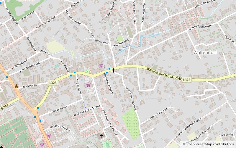
Ries, Graz
Map
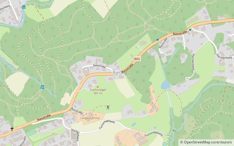
Map

Facts and practical information
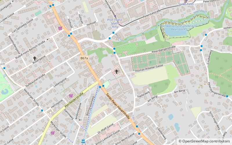
Ries is the 10th district of the Austrian city of Graz. It is named after a hill range in it. Ries borders the districts of Mariatrost and Geidorf to the west, and St. Leonhard and Waltendorf to the south. It has a population of 5,623 and covers an area of 10.16 square kilometres. The postal codes of Ries are 8010, 8044 and 8047. The Roman Catholic Bruder-Klaus church, finished in 1987, is situated within the district. ()
Address
RiesGraz
ContactAdd
Social media
Add
Day trips
Ries – popular in the area (distance from the attraction)
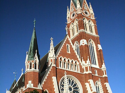
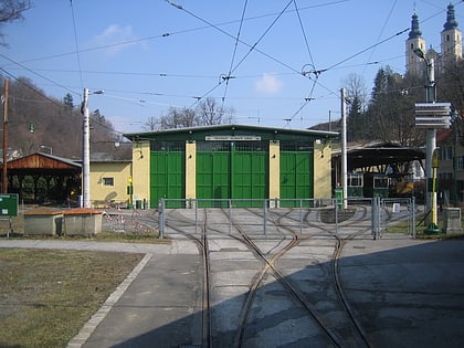
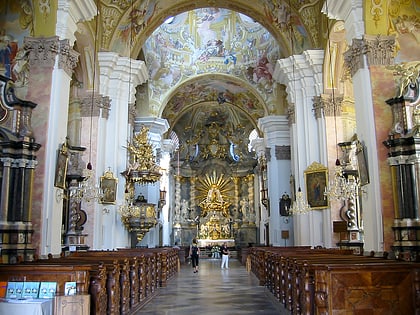
Nearby attractions include: Church of the Sacred Heart, Tramway Museum Graz, Basilika Mariatrost, Karl-Franzens-Universität Graz.
Frequently Asked Questions (FAQ)
How to get to Ries by public transport?
The nearest stations to Ries:
Bus
Tram
Bus
- Sternwirtweg • Lines: 300, 331, 350, 360, 361, 470 (7 min walk)
- Otto-Möbes-Akademie • Lines: 82, N7 (11 min walk)
Tram
- Teichhof • Lines: 1 (29 min walk)
- Tannhof • Lines: 1 (29 min walk)

