Lichtsäule

Gallery (1)
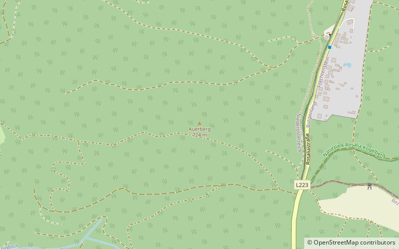
Map
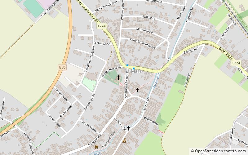
Map
Facts and practical information
Lichtsäule is a place located in Austria and belongs to the category of wayside shrine.
It is situated at an altitude of 830 feet, and its geographical coordinates are 47°43'7"N latitude and 16°25'0"E longitude.
Among other places and attractions worth visiting in the area are: PappelstadionMattersburg (football, 39 min walk), Pfarrkirche Hl. Anna (wayside shrine, 97 min walk), Filialkirche (church, 102 min walk).
Coordinates: 47°43'7"N, 16°25'0"E
Day trips