Burg Stixenstein
Map

Map

Facts and practical information
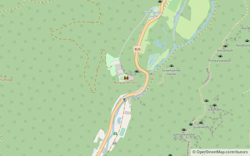
Stixenstein Castle is a medieval hilltop castle complex in Stixenstein, a rotte of the municipality of Ternitz, in Lower Austria. It is located on a hill above the Sierningtal. On the road between Sieding and Puchberg am Schneeberg there is a former dam, through which the road still runs today. The castle is a listed building.
Coordinates: 47°44'42"N, 15°58'47"E
Location
Lower Austria
ContactAdd
Social media
Add
Day trips
Burg Stixenstein – popular in the area (distance from the attraction)
Nearby attractions include: Heimatmuseum Neunkirchen, Schloss Gloggnitz, Historic Post Office, Christkönigskirche.


