Vienna/Wieden, Vienna
Map
Gallery
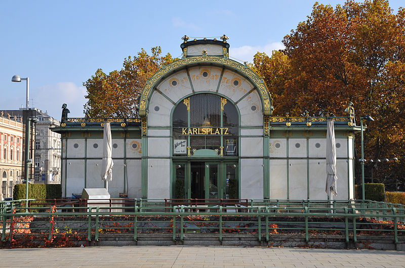
Facts and practical information
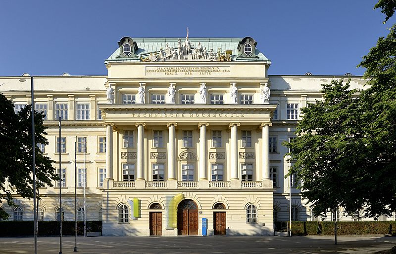
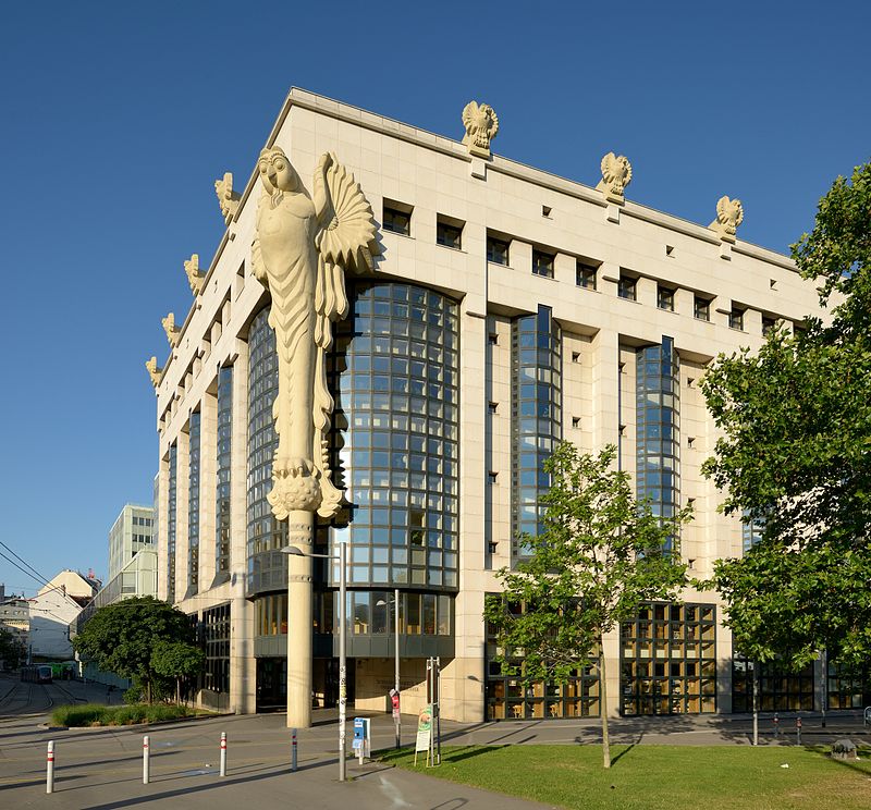
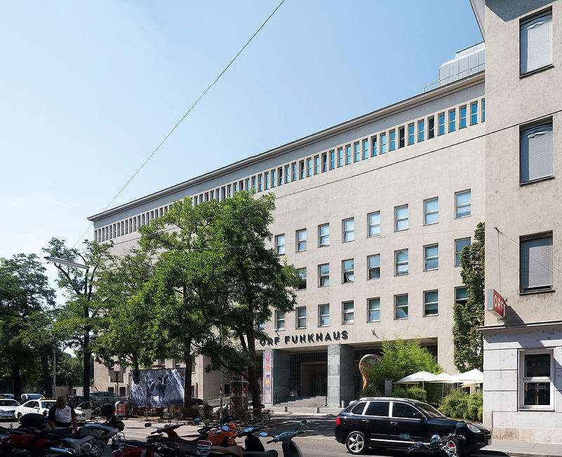
Wieden is the 4th municipal district of Vienna, Austria. It is near the centre of Vienna and was established as a district in 1850, but its borders were changed later. Wieden is a small region near the city centre. After World War II, Wieden was part of the Soviet sector of Vienna for 10 years. ()
Day trips
Vienna/Wieden – popular in the area (distance from the attraction)
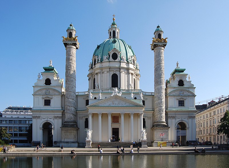
Nearby attractions include: Karlskirche, Vienna Secession, Haus des Meeres, Naschmarkt.
Frequently Asked Questions (FAQ)
Which popular attractions are close to Vienna/Wieden?
Nearby attractions include Palais Apponyi, Vienna (6 min walk), Schubert Sterbewohnung, Vienna (10 min walk), Margareten, Vienna (11 min walk), Gesellschafts- und Wirtschaftsmuseum, Vienna (12 min walk).
How to get to Vienna/Wieden by public transport?
The nearest stations to Vienna/Wieden:
Bus
Tram
Light rail
Metro
Train
Bus
- Leibenfrostgasse • Lines: 13A (2 min walk)
- Johann-Strauß-Gasse • Lines: 13A, 303, N62 (6 min walk)
Tram
- Johann-Strauß-Gasse • Lines: 1, 62 (6 min walk)
- Laurenzgasse • Lines: 1, 62 (7 min walk)
Light rail
- Johann-Strauß-Gasse • Lines: 1, 62, Wlb (6 min walk)
- Laurenzgasse • Lines: 1, 62, Wlb (7 min walk)
Metro
- Pilgramgasse • Lines: U4 (10 min walk)
- Taubstummengasse • Lines: U1 (13 min walk)
Train
- Wien Matzleinsdorfer Platz (17 min walk)
- Wien Hauptbahnhof (19 min walk)


