Wiener Neudorf, Vienna
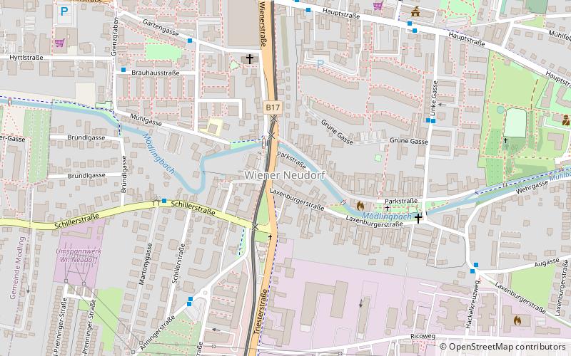
Map
Facts and practical information
Wiener Neudorf is an Austrian town in the eastern part of the Mödling district, south of Vösendorf and Maria Enzersdorf, west of Biedermannsdorf, and north of Guntramsdorf. ()
Getting there by public transportation
Public transportation stops near this location
- Bus
- Light rail
- Train
 Bus
Bus
- Calculate routeWiener Neudorf Martonygasse 5 min walk
- Calculate routeWiener Neudorf Linke Gasse 6 min walk
- Calculate routeWiener Neudorf Anningerstraße 6 min walk
- Calculate routeWiener Neudorf 8 min walk
- Calculate routeGriesfeld 11 min walk
- Calculate routeMaria Enzersdorf-Südstadt 23 min walk
- Calculate routeMödling 23 min walk
Day trips


Frequently Asked Questions (FAQ)
Which popular attractions are close to Wiener Neudorf?
Nearby attractions include Pfarre Herz Jesu, Mödling (18 min walk), St. Joseph Kirche, Mödling (19 min walk), Mödlinger Stadtverkehrsmuseum, Mödling (22 min walk).
How to get to Wiener Neudorf by public transport?
The nearest stations to Wiener Neudorf:
Bus
Light rail
Train
Bus
- Wiener Neudorf Martonygasse • Lines: 216 (5 min walk)
- Wiener Neudorf Linke Gasse • Lines: 214 (6 min walk)
Light rail
- Wiener Neudorf • Lines: Wlb (8 min walk)
- Griesfeld • Lines: Wlb (11 min walk)
Train
- Mödling (23 min walk)