Platt
Map

Map

Facts and practical information
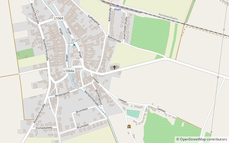
Platt is a village in the Zellerndorf administrative community in the district of Hollabrunn, Lower Austria, in northeast Austria. It is notable for its position on the Diendorf fault line and for its immediate vicinity to the site of one of the most significant Celtic settlements in Central Europe, situated on the southern slopes of the nearby Sandberg ridge towards the neighboring village of Roseldorf. ()
Location
Lower Austria
ContactAdd
Social media
Add
Day trips
Platt – popular in the area (distance from the attraction)
Nearby attractions include: Schloss Schrattenthal, Bauernmuseum, Sandberg, Schloss Guntersdorf.


