Thayatal National Park
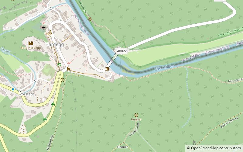
Map

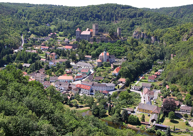
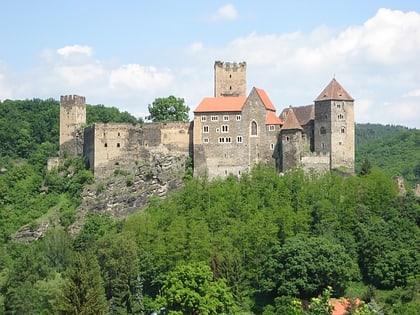
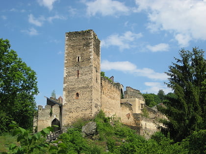
Gallery

Facts and practical information
Thayatal National Park is a 13.3 km2 Austrian national park located in the Lower Austrian border area with the Czech Republic. It connects to the Czech Podyjí National Park. The Thayatal with its steep hillside forests is one of the most beautiful breakthrough valleys in Austria. The highest point is the gneiss mountain around which the Thaya flows. ()
Location
Lower Austria
ContactAdd
Social media
Add
Day trips
Thayatal National Park – popular in the area (distance from the attraction)
Nearby attractions include: Burg Hardegg, Burgruine Kaja, Schloss Oberhöflein, Schloss Fronsburg.


