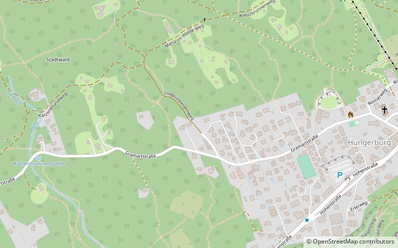
Hungerburg, Innsbruck
Map
Facts and practical information
Hungerburg is a district of Innsbruck, Austria. It has a population of 1,005. It is connected with the city center through a hybrid funicular railway, the Hungerburgbahn, and from Hungerburg the Nordkette Cable Car continues in 2 sections up the mountain, to Seegrube and then to Hafelekar. ()
Address
Innsbruck
ContactAdd
Social media
Add
Getting there by public transportation
Public transportation stops near this location
- Bus
- Tram
- Train
- Aerialway
 Bus
Bus
- Calculate routeHungerburg Terassensiedlung 8 min walk
- Calculate routeTheresienkirche 11 min walk
- Calculate routeÖlberg 12 min walk
- Calculate routeNordkette 12 min walk
- Calculate routeHungerburg 12 min walk
- Calculate routeHungerburg 14 min walk
- Calculate routeAlpenzoo 16 min walk
- Calculate routeLöwenhaus/ORF 22 min walk
- Calculate routeCongress 28 min walk
- Calculate routeMühlauer Brücke 23 min walk
- Calculate routeClaudiaplatz 27 min walk
- Calculate routeHaydnplatz 27 min walk
- Calculate routeBundesbahndirektion 30 min walk
Day trips


Frequently Asked Questions (FAQ)
Which popular attractions are close to Hungerburg?
Nearby attractions include Theresienkirche, Innsbruck (10 min walk), Alpenzoo, Innsbruck (13 min walk), Old Jewish Cemetery, Innsbruck (18 min walk), Evang. Christuskirche, Innsbruck (23 min walk).
How to get to Hungerburg by public transport?
The nearest stations to Hungerburg:
Bus
Aerialway
Train
Tram
Bus
- Hungerburg Terassensiedlung • Lines: J, N7 (8 min walk)
- Theresienkirche • Lines: J, N7 (11 min walk)
Aerialway
- Hungerburg • Lines: Inkb (12 min walk)
Train
- Hungerburg (14 min walk)
- Alpenzoo (16 min walk)
Tram
- Mühlauer Brücke • Lines: 1 (23 min walk)
- Claudiaplatz • Lines: 1 (27 min walk)