Leopoldstadt, Vienna
Map
Facts and practical information
Leopoldstadt is the 2nd municipal district of Vienna in Austria. There are 103,233 inhabitants over 19.27 km2. It is situated in the heart of the city and, together with Brigittenau, forms a large island surrounded by the Danube Canal and, to the north, the Danube. It is named after Leopold I, Holy Roman Emperor. Due to its relatively high percentage of Jewish inhabitants, Leopoldstadt gained the nickname Mazzesinsel. This context was a significant aspect for the district twinning with the New York City borough Brooklyn in 2007. ()
Day trips
Leopoldstadt – popular in the area (distance from the attraction)
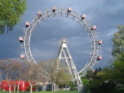
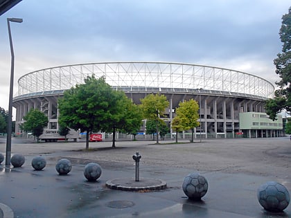
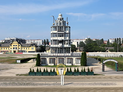
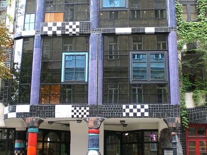
Nearby attractions include: Wurstelprater, Ernst-Happel-Stadion, Hundertwasserhaus, Trabrennbahn Krieau.
Frequently Asked Questions (FAQ)
Which popular attractions are close to Leopoldstadt?
Nearby attractions include WU, Vienna (8 min walk), Praterturm, Vienna (15 min walk), Margarete Schütte-Lihotzky Raum, Vienna (21 min walk), Kugelmugel, Vienna (22 min walk).
How to get to Leopoldstadt by public transport?
The nearest stations to Leopoldstadt:
Bus
Train
Metro
Tram
Bus
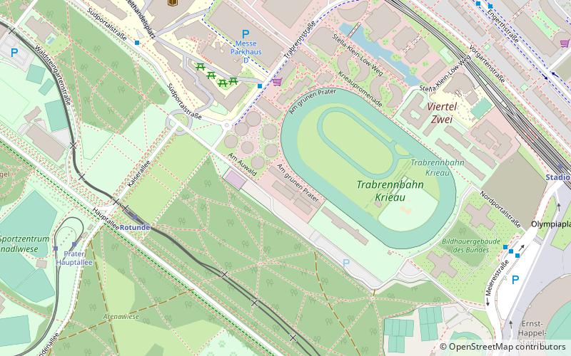
- Trabrennstraße • Lines: 82A (4 min walk)
- Südportalstraße • Lines: 82A (8 min walk)
Train
- Rotunde (6 min walk)
- Stadion (9 min walk)
Metro
- Krieau • Lines: U2 (8 min walk)
- Stadion • Lines: U2 (10 min walk)
Tram
- Prater Hauptallee • Lines: 1 (9 min walk)
- Wittelsbachstraße • Lines: 1 (17 min walk)
