Fallbach Waterfall, Malta
#1 among attractions in Malta
![Fallbach Waterfall location map](https://tzmedia.b-cdn.net/media/images/static-maps/at/46_9727_13_4779.jpg)
Facts and practical information
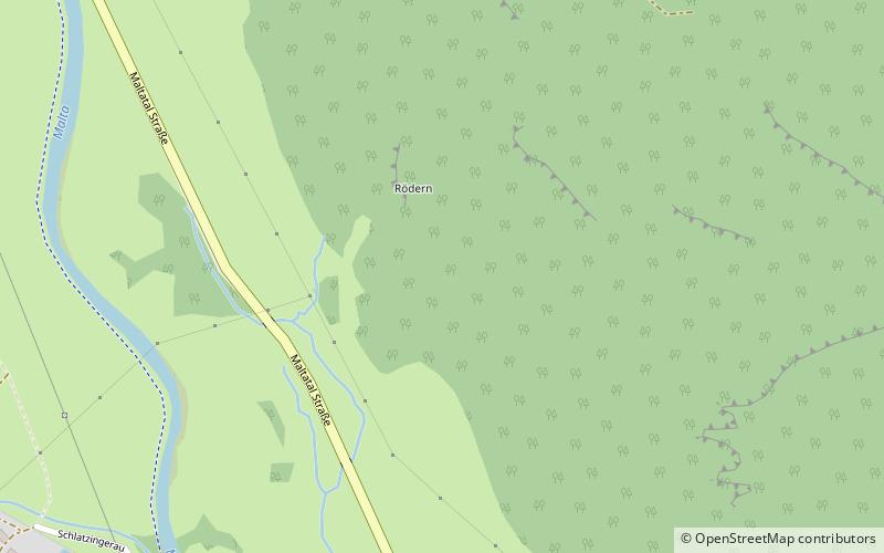
Malta Austria
Malta plan & book
Unleash the traveler in you — discover the cheapest flight deals, find the perfect hotel or hostel nearby, and search for the best car rental prices. Travel at your own pace to discover new places and enjoy your journey.
Fallbach Waterfall – popular in the area (distance from the attraction)
Nearby attractions include: Burgruine Gmünd, Reißeck Mountain, Pankratium, Großer Sonnblick.
5.2 miSERestaurant, Forts and castlesBurgruine Gmünd, Gmünd
133 min walk • Burgruine Gmünd is a castle in Carinthia, Austria. Burgruine Gmünd is situated at an altitude of 768 m.
5.6 miWNature, Natural attraction, MountainReißeck Mountain
144 min walk • The Reißeck, also Großes Reißeck is, at 2,965 metres above the Adriatic, the highest peak of the Reißeck Group in the High Tauern of Carinthia, Austria. The range forms the southern part of the larger Ankogel Group with its highest summit, the Hochalmspitze, separated by the col of Mallnitzer Scharte at 2,673 m.
5.3 miSESpecialty museum, MuseumPankratium, Gmünd
136 min walk • The Antonius Hospital is a former hospital in Gmünd in Carinthia, which now houses a museum.
5.8 miNWNature, Natural attraction, MountainGroßer Sonnblick
149 min walk • The Großer Sonnblick or Malteiner Sonnblick, a mountain with a height of 3,030 m, is a peak in the Ankogel Group of the Hohe Tauern range in Austria. It is the easternmost peak of the Alps with a prominence over 100 metres and with a height exceeding 3,000 metres.
5.5 miSENature, Natural attraction, ValleyMaltatal, Gmünd
141 min walk • The Maltatal is a valley in the High Tauern mountain range of the Central Eastern Alps. It follows the course of the Malta river down towards its confluence with the Lieser, itself a left tributary of the Drava.
5.4 miSEChurchKreuzbichlkapelle, Gmünd
138 min walk • The Geteilte Kirche am Kreuzbichl is a Roman Catholic church near Gmünd in the Carinthian Oberland, through which a busy road leads. Here, on one side of the road is the sanctuary, and on the other side of the road is a two-story gallery where...
6 miNNature, Natural attraction, MountainMittlerer Sonnblick
152 min walk • The Mittlerer Sonnblick is a 3,000 metre high sub-peak of the Großer Sonnblick to which it is linked by a knife-edge ridge. It is a border peak between the two Austrian federal states of Carinthia and Salzburg.
5.8 miSEChurchEvangelische Kirche Eisentratten
149 min walk • Eisentratten Lutheran Church is the Lutheran parish church in the Eisentratten district of Krems. The church is a listed building.
5.3 miSEForts and castlesSchloss Lodron, Gmünd
136 min walk • The New Castle in Gmünd in Carinthia, also called Lodron Castle, stands in the southeast corner of the town's main square.
3.4 miSEChurchEvangelical Church
87 min walk • The Protestant church Fischertratten in the municipality of Malta was built in 1787 with the help of Count Hieronymus Maria Lodron, Catholic and landlord of Gmünd, as a tolerance prayer house.
5.2 miSEChurchMariä Himmelfahrt, Gmünd
134 min walk • The parish church of Gmünd in Carinthia stands in Kirchgasse in the municipality of Gmünd in Carinthia in the district of Spittal an der Drau in Carinthia. Consecrated on the feast of the Assumption of Mary, the Roman Catholic parish church belongs...