Halat Bu Maher, Manama
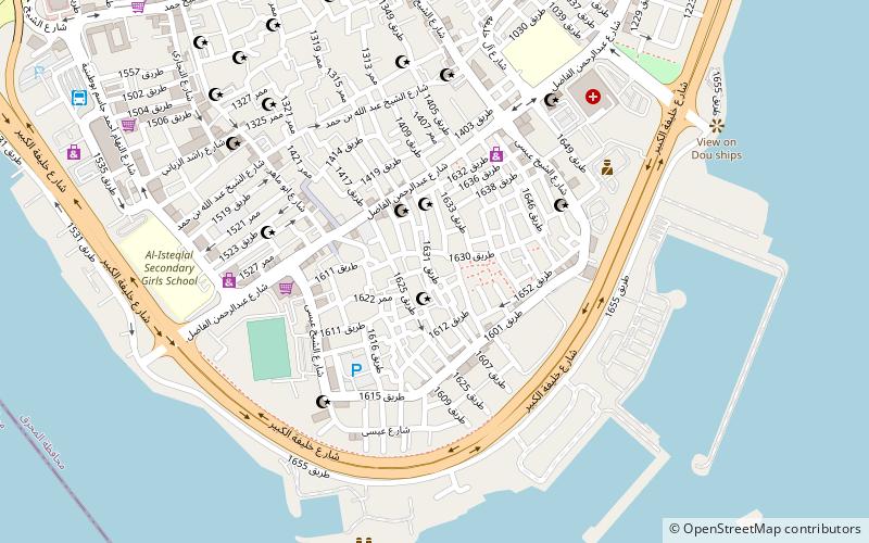
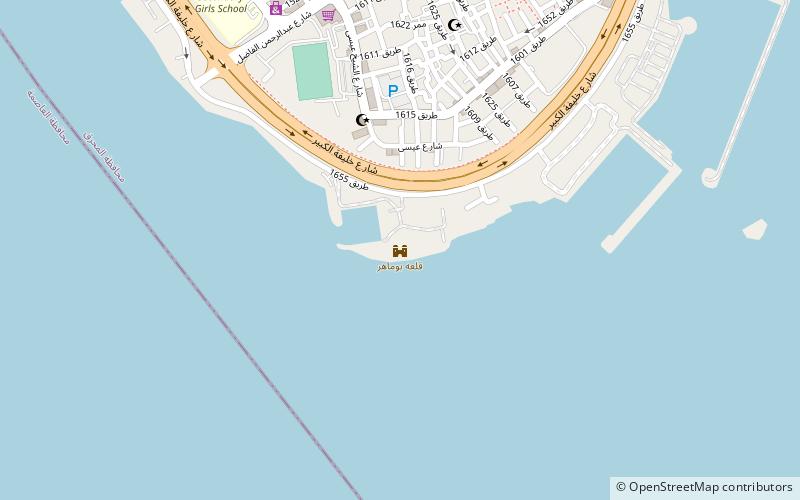
Map
Facts and practical information
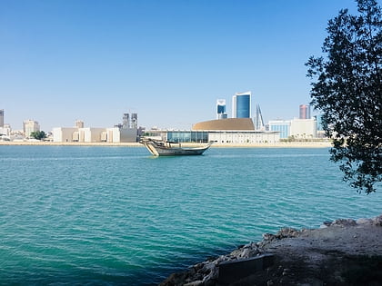
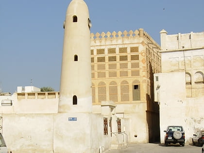
Halat Bu Maher, sometimes abbreviated to simply "Al Hala", is a neighbourhood of Muharraq, Bahrain. It used to be a separate island, but after coastal expansion and dredging, the island has merged with Muharraq Island, and the former settlement was integrated as a neighbourhood of Muharraq city. ()
Coordinates: 26°14'46"N, 50°36'54"E
Address
Manama
ContactAdd
Social media
Add
Day trips
Halat Bu Maher – popular in the area (distance from the attraction)
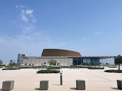
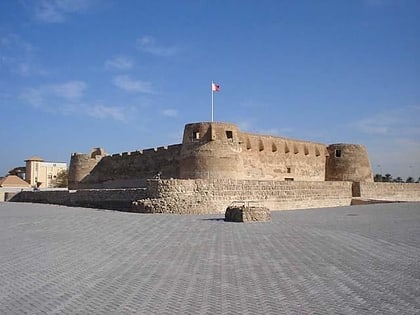
Nearby attractions include: Bahrain National Museum, National Theatre of Bahrain, Arad Fort, Bu Maher Fort.
Frequently Asked Questions (FAQ)
Which popular attractions are close to Halat Bu Maher?
Nearby attractions include Bu Maher Fort, Manama (9 min walk), Bahrain Pearling Trail, Manama (11 min walk), Muharraq, Manama (17 min walk), Siyadi House, Manama (17 min walk).
How to get to Halat Bu Maher by public transport?
The nearest stations to Halat Bu Maher:
Bus
Bus
- Muharraq Bus Terminal (13 min walk)
