Mymensingh Polytechnic Institute, Mymensingh
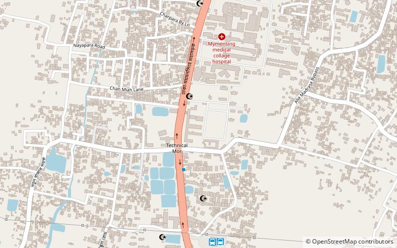
Map
Facts and practical information
Mymensingh Polytechnic Institute or MPI is a polytechnic institute in Mymensingh, Bangladesh, established in 1963. ()
Local name: ময়মনসিংহ পলিটেকনিক ইনস্টিটিউটEstablished: 1963 (63 years ago)Coordinates: 24°44'22"N, 90°24'30"E
Getting there by public transportation
Public transportation stops near this location
- Bus
- Train
 Bus
Bus
- Calculate routeDhaka Bus Terminal মাসকান্দা 9 min walk
- Calculate routeEna Paribahon এনা পরিবহন এনা পরিবহন 9 min walk
- Calculate routeSoukhin Paribahan 9 min walk
- Calculate routeTrishal Bus Stand ত্রিশাল বাস স্ট্যান্ড 25 min walk
- Calculate routeMymensingh Railway Junction 25 min walk
Day trips


Frequently Asked Questions (FAQ)
How to get to Mymensingh Polytechnic Institute by public transport?
The nearest stations to Mymensingh Polytechnic Institute:
Bus
Train
Bus
- Dhaka Bus Terminal মাসকান্দা (9 min walk)
- Ena Paribahon এনা পরিবহন এনা পরিবহন (9 min walk)
Train
- Mymensingh Railway Junction (25 min walk)