Chalan Beel, Pabna District

Gallery (1)
Map
Map
Facts and practical information
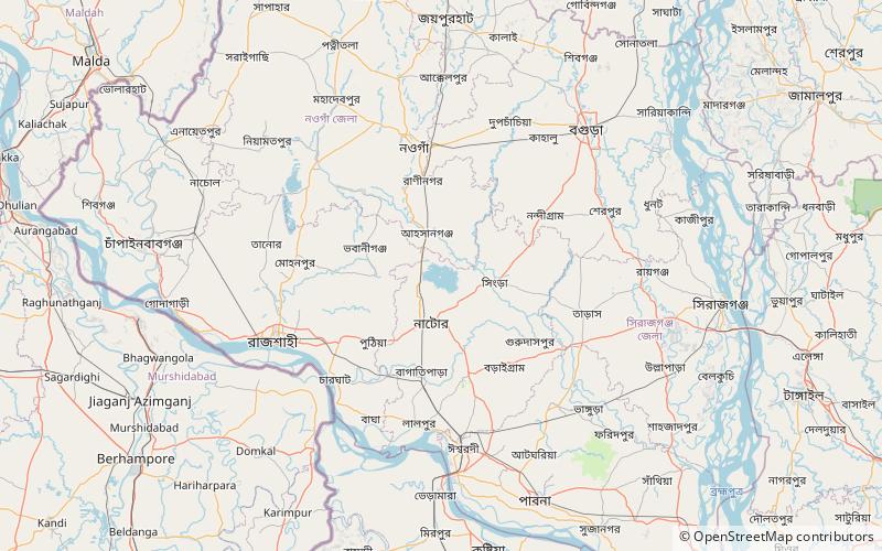
Chalan Beel is a wetland in the Sirajganj, Natore and Pabna districts of Bangladesh. It is a large inland depression, marshy in character, with rich flora and fauna. Forty-seven rivers and other waterways flow into the Chalan Beel. As silt builds up in the beel, its size is being reduced. ()
Local name: চলন বিলMaximum depth: 13 ftElevation: 39 ft a.s.l.Coordinates: 24°31'12"N, 89°0'36"E
Address
Pabna District
ContactAdd
Social media
Add