Bangladesh–Myanmar border
Map

Map

Facts and practical information
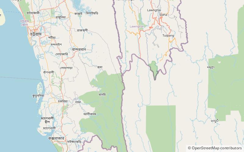
The Bangladesh–Myanmar border is the international border between the countries of Bangladesh and Myanmar. The border stretches 271.0 kilometres, from the tripoint with India in the north, to the Bay of Bengal in the south. About 210 km of the border is fenced, with the government of Myanmar announcing in 2017 that it was planning to fence off the rest of the border. ()
Day trips
Bangladesh–Myanmar border – popular in the area (distance from the attraction)
Nearby attractions include: Jadipai waterfall, Mukhra Thuthai haphong, Dumlong, Thingdawl Te Tlang.


