Bhitargarh
Map

Map

Facts and practical information
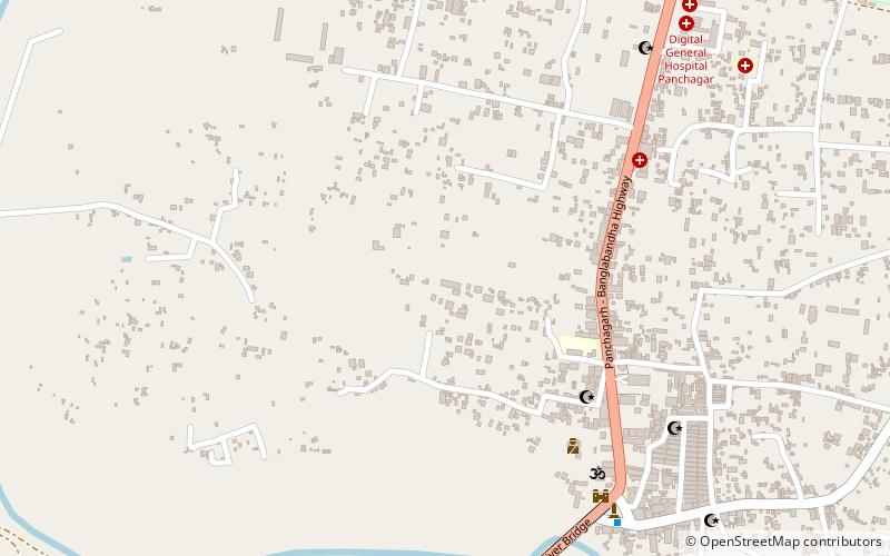
Bhitargarh is an archaeological site that includes the remains of an ancient fort city built in and around the 5th century AD. It is located in Panchagarh District in Rangpur Division in the northern part of Bangladesh and is large enough that it can be seen from space. The archaeological significance of the site lies in its strategic position as an intersection of the trade routes between Tibet, Nepal, Bhutan and the middle and lower Ganges Valley. At its height the city stretched over 5 km by 3 km and involved rerouting the Talma River. ()
Local name: ভিতরগড় দুর্গBuilt: V centuryAbandoned: XVII centuryCoordinates: 26°20'7"N, 88°33'6"E
Location
Rangpur
ContactAdd
Social media
Add
Day trips
Bhitargarh – popular in the area (distance from the attraction)
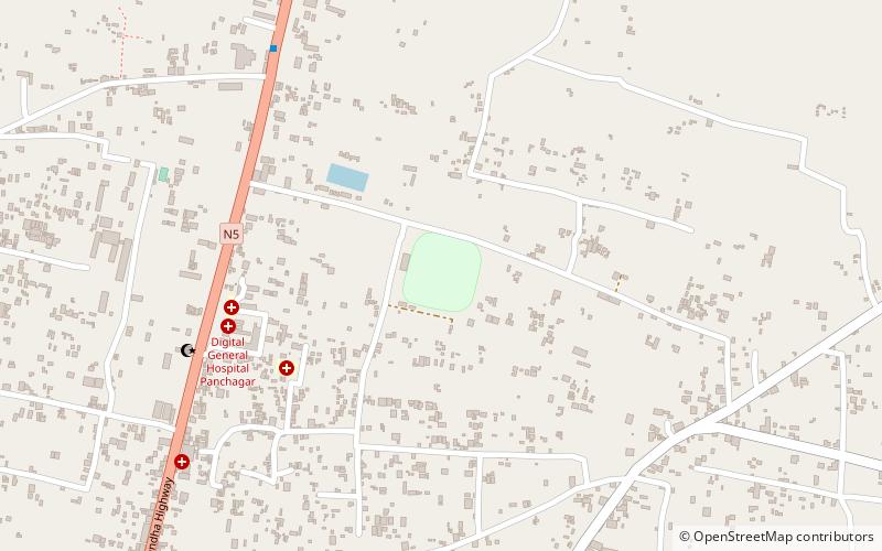
Nearby attractions include: Bir Muktijoddha Sirajul Islam Stadium.

