Elenga

Gallery (2)
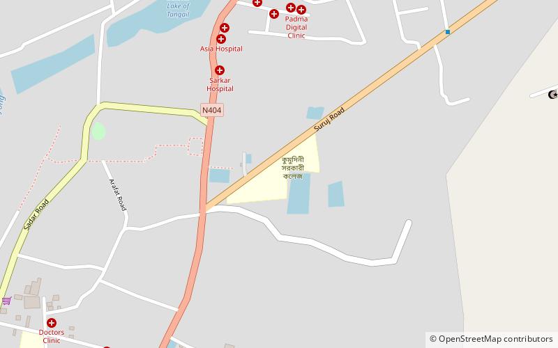
Map
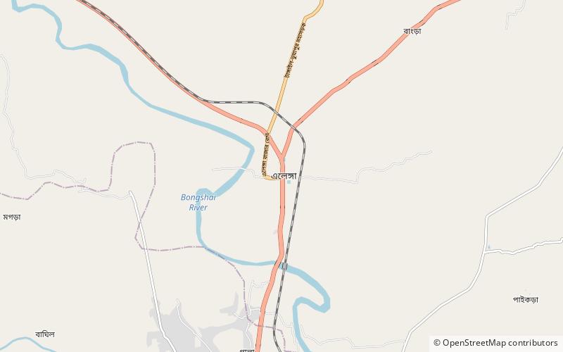
Map
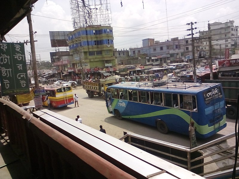
Gallery
Facts and practical information
Elenga is a town in Kalihati Upazila of Tangail District, Bangladesh. The town is situated 10 kilometres away from Tangail city and 105 kilometres northwest of Dhaka city, the capital. ()
Area: 8.97 mi²Coordinates: 24°20'7"N, 89°55'29"E
Location
Dhaka
ContactAdd
Social media
Add
Day trips