Banani DOHS, Dhaka
Map
Facts and practical information
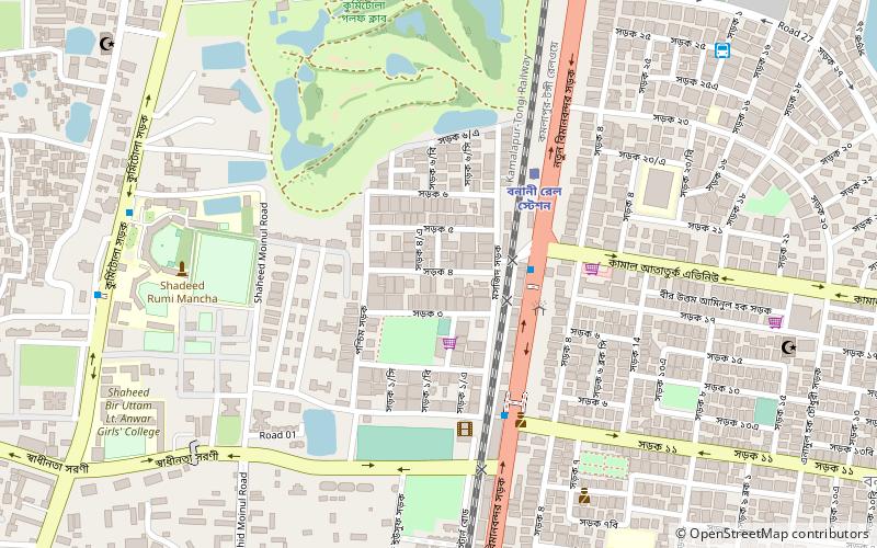
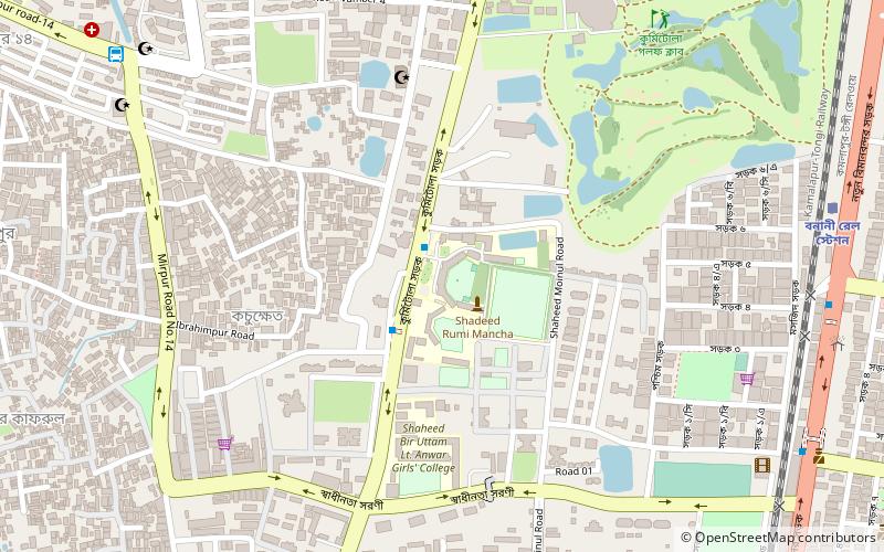
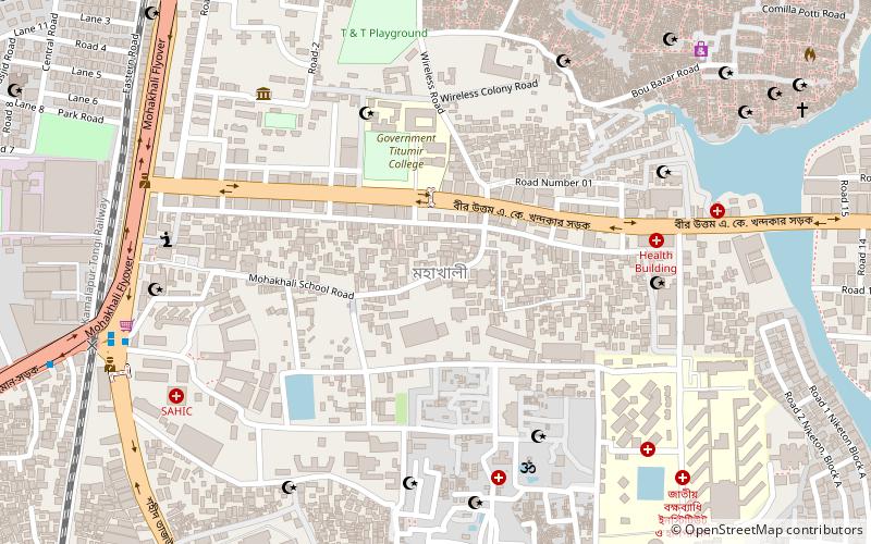
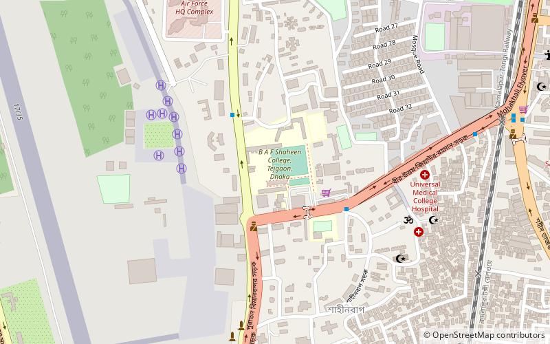
Banani DOHS also known as "Old DOHS", is a neighborhood of Dhaka, located in Banani. It was created under the Defense Officers Housing Scheme scheme of the Government of Bangladesh. The neighborhood falls under the Jurisdiction of Bhashantek Police Station. The area is governed by the DOHS parishad. ()
Coordinates: 23°47'38"N, 90°23'56"E
Address
কাফরুল থানা (kapharula thana)Dhaka
ContactAdd
Social media
Add
Getting there by public transportation
Public transportation stops near this location
- Bus
- Train
 Bus
Bus
- Calculate routeBanani Rail Station 5 min walk
- Calculate routeMirpur-14 Bus Station 21 min walk
Day trips


Frequently Asked Questions (FAQ)
Which popular attractions are close to Banani DOHS?
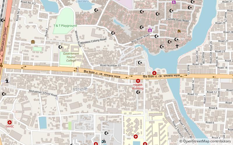
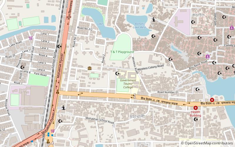
Nearby attractions include Adamjee Cantonment College, Dhaka (10 min walk), Banani Graveyard, Dhaka (14 min walk), Gulshan Society Mosque, Dhaka (19 min walk), Government Titumir College, Dhaka (22 min walk).
How to get to Banani DOHS by public transport?
The nearest stations to Banani DOHS:
Train
Bus
Train
- Banani Rail Station (5 min walk)
Bus
- Mirpur-14 Bus Station (21 min walk)