Bailey Road, Dhaka
Facts and practical information
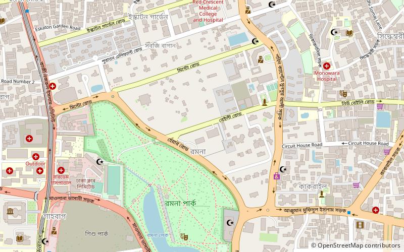
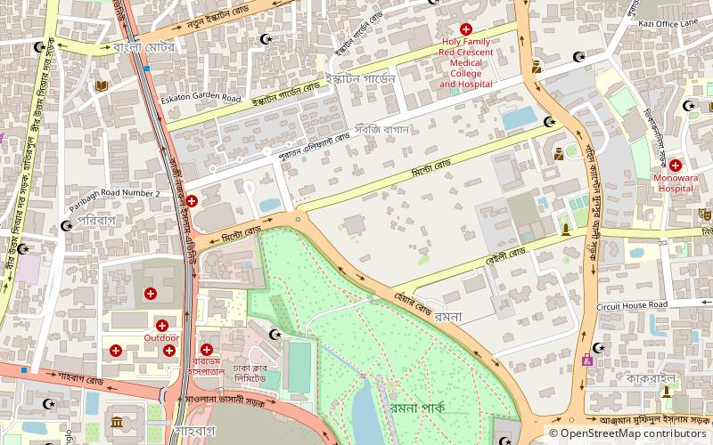
Bailey road is a well-known thoroughfare in Dhaka, the capital city of Bangladesh. It is a classic road in Dhaka. It runs through Shantinagar, connecting the Kakrail-Ramna road with the Siddheshwari junction. It is generally regarded as one of the classier areas of the city. The bailey road is considered as two distinct roads, one after another, they are the new baily road and the Baily road. The new Baily road is well recognised for its famous theatres, numerous boutiques, shops, schools, fast foods, restaurants and various hangout places. The other Baily road is reputable because of the officers club, Foreign Service academy and homes of ministers, officers and government officials. Bailey Road was featured in a song of the same name by Ayub Bachchu, lead singer of the popular rock band LRB. Bailey Road was officially renamed Natok Soroni, in recognition of the road's contributions to performing arts in the capital. ()
রমনা থানা (ramana thana)Dhaka
- Bus
 Bus
Bus
- Calculate routeGreenline Bus Terminal 26 min walk


Frequently Asked Questions (FAQ)
Which popular attractions are close to Bailey Road?
How to get to Bailey Road by public transport?
Bus
- Greenline Bus Terminal (26 min walk)