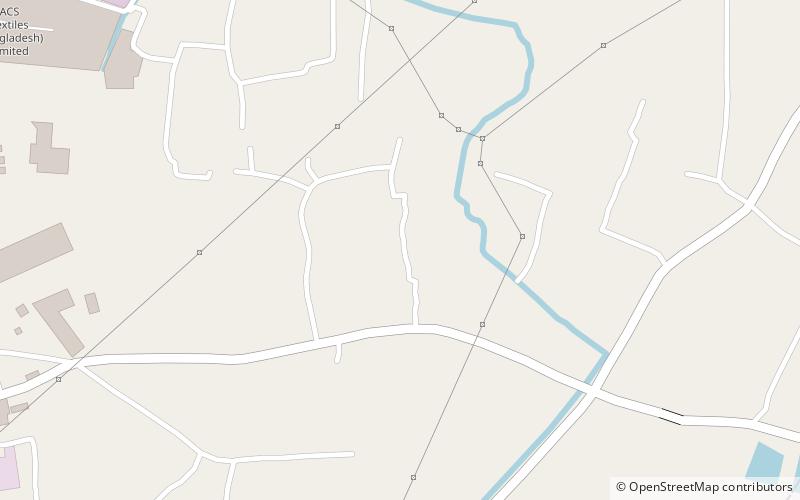
Masaba, Dhaka

Map
Facts and practical information
Masaba is an area in ward 3 of the town of Tarabo, in Rupganj Upazila, Narayanganj District, Bangladesh. According to the 2011 Bangladesh census, Masaba had 1,134 households and a population of 4,896. ()
Coordinates: 23°45'0"N, 90°33'22"E
Address
Dhaka
ContactAdd
Social media
Add
Day trips
Masaba – popular in the area (distance from the attraction)
Nearby attractions include: Taj Mahal Bangladesh, Murapara Rajbari.
Frequently Asked Questions (FAQ)
How to get to Masaba by public transport?
The nearest stations to Masaba:
Bus
Bus
- Borpa Bus Stop (25 min walk)

